File:Location map India Telangana (blank).svg
Jump to navigation
Jump to search

Size of this PNG preview of this SVG file: 800 × 553 pixels. Other resolutions: 320 × 221 pixels | 640 × 443 pixels | 1,024 × 708 pixels | 1,280 × 885 pixels | 2,560 × 1,770 pixels | 1,070 × 740 pixels.
Original file (SVG file, nominally 1,070 × 740 pixels, file size: 424 KB)
Captions
Captions
Add a one-line explanation of what this file represents
Summary[edit]
| Description |
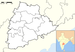
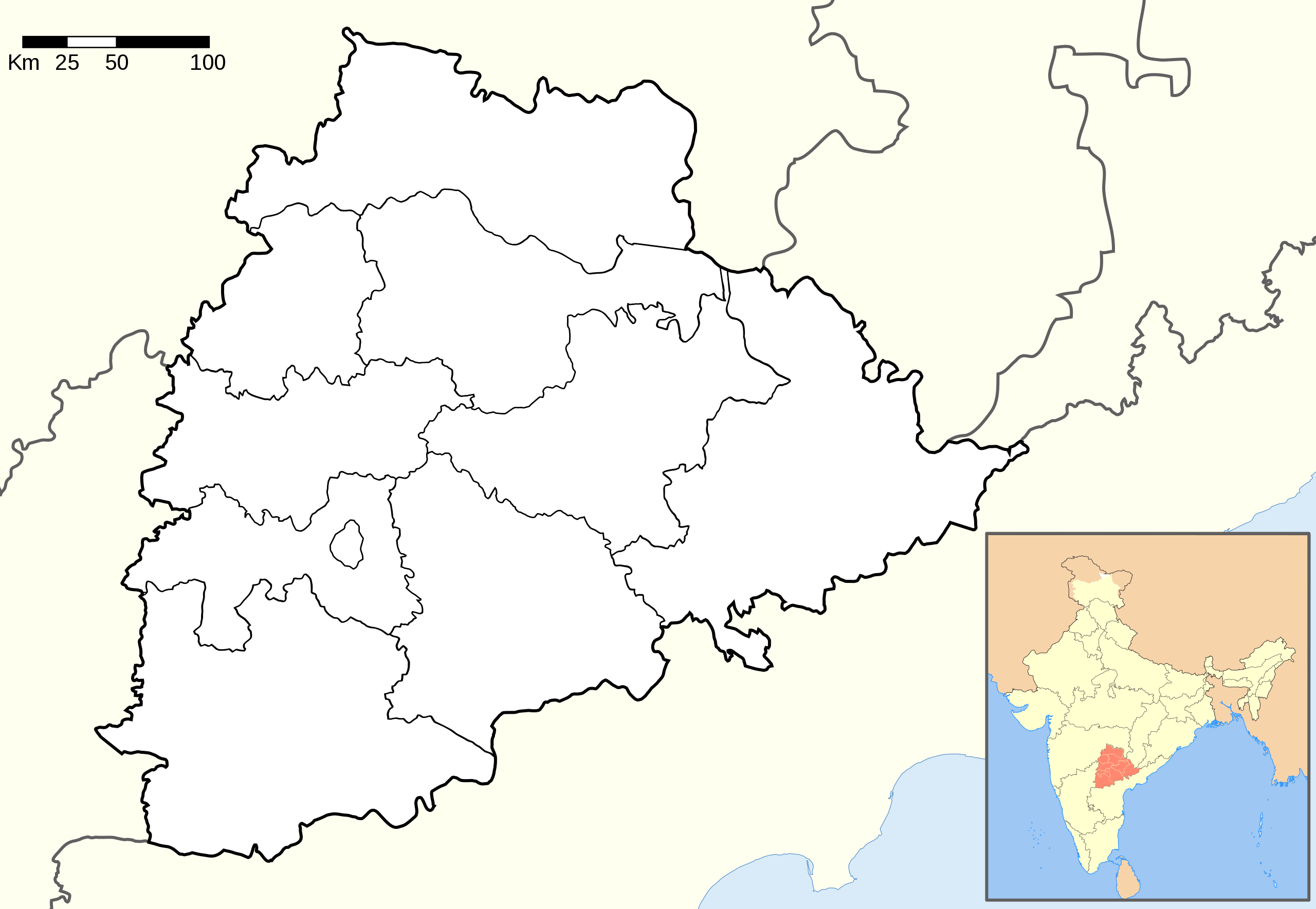
English: Location map of Telangana.
The borders of Chhattisgarh are copied from the overview map to the detail map and are therefore less accurate.coordinates:
|
| Date | |
| Source |
This file was derived from: and based on: |
| Author |
|

.svg&action=edit§ion=1)
.svg)
This vector image was created with Adobe Illustrator.
Licensing[edit]
.svg&action=edit§ion=2)
This file is licensed under the Creative Commons Attribution-Share Alike 3.0 Unported license.
Attribution: Wikipedia: PlaneMad, Maklaan
- You are free:
- to share – to copy, distribute and transmit the work
- to remix – to adapt the work
- Under the following conditions:
- attribution – You must give appropriate credit, provide a link to the license, and indicate if changes were made. You may do so in any reasonable manner, but not in any way that suggests the licensor endorses you or your use.
- share alike – If you remix, transform, or build upon the material, you must distribute your contributions under the same or compatible license as the original.
File history
Click on a date/time to view the file as it appeared at that time.
| Date/Time | Thumbnail | Dimensions | User | Comment | |
|---|---|---|---|---|---|
| current | 09:44, 24 December 2014 | | 1,070 × 740 (424 KB) | Maklaan (talk | contribs) | {{Information |Description ={{en|1=Location map of Telangana. ''The detail map was missing data on the Chhattisgarh borders. The borders were copied from the overview map and are therefore less accurate.'' <br /> coordinates: *top=19.957 *bottom=15... |
You cannot overwrite this file.
File usage on Commons
The following 2 pages use this file:
File usage on other wikis
The following other wikis use this file:
- Usage on en.wikipedia.org
- Usage on pa.wikipedia.org
- Usage on zh.wikipedia.org
.svg&oldid=653337978)