File:Location map Aberdeenshire.png
Jump to navigation
Jump to search
No higher resolution available.
Location_map_Aberdeenshire.png (604 × 515 pixels, file size: 70 KB, MIME type: image/png)
Captions
Captions
Add a one-line explanation of what this file represents
| Description |
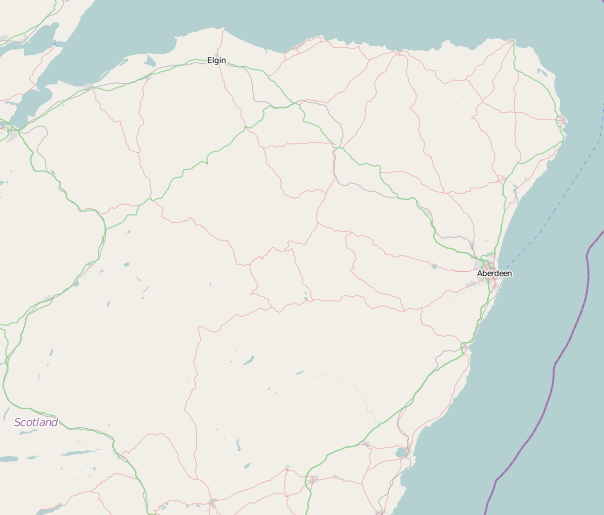
English: Map of Aberdeenshire area of Scotland
Geographic limits of the map:
This file is licensed under the Creative Commons Attribution-Share Alike 2.0 Generic license.
|
| Source | OpenStreetMap |
| Author | Dr. Blofeld |
File history
Click on a date/time to view the file as it appeared at that time.
| Date/Time | Thumbnail | Dimensions | User | Comment | |
|---|---|---|---|---|---|
| current | 16:49, 6 May 2010 | | 604 × 515 (70 KB) | Dr. Blofeld~commonswiki (talk | contribs) | {{Information |Description={{en|1=h}} |Source=h |Author=h |Date=h |Permission= |other_versions= }} |
You cannot overwrite this file.
File usage on Commons
There are no pages that use this file.