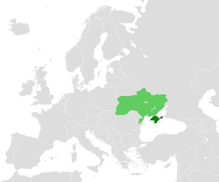
File:LocationCrimea 2.PNG
From Wikimedia Commons, the free media repository
Jump to navigation
Jump to search

Size of this preview: 720 × 600 pixels. Other resolutions: 288 × 240 pixels | 576 × 480 pixels | 922 × 768 pixels | 1,200 × 1,000 pixels.
Original file (1,200 × 1,000 pixels, file size: 44 KB, MIME type: image/png)
File information
Structured data
Captions
Captions
Add a one-line explanation of what this file represents
| DescriptionLocationCrimea 2.PNG |
English: A map depicting location of Crimea (within Ukraine). |
|||
| Date | first version 18 February 2006, last version 31 January 2008 | |||
| Source |
licenced as own work of the uploaders. Originally uploaded as File:LocationCrimea.PNG:
|
|||
| Author | unstated, see "source" section for the uploaders | |||
| Permission (Reusing this file) |
|
|||
| Other versions |
|
File history
Click on a date/time to view the file as it appeared at that time.
| Date/Time | Thumbnail | Dimensions | User | Comment | |
|---|---|---|---|---|---|
| current | 15:54, 31 January 2008 |  | 1,200 × 1,000 (44 KB) | Don Alessandro (talk | contribs) | {{PD-User|Refat}} |
| 04:12, 26 March 2007 |  | 250 × 115 (6 KB) | DDima (talk | contribs) | better color | |
| 19:40, 25 March 2007 |  | 250 × 115 (6 KB) | DDima (talk | contribs) | changed to include Ukraine with Crimea... I hope better |
You cannot overwrite this file.
File usage on Commons
The following page uses this file:
Hidden categories: