File:Liverpool svg.png
Jump to navigation
Jump to search

Size of this preview: 800 × 536 pixels. Other resolutions: 320 × 215 pixels | 640 × 429 pixels | 1,024 × 686 pixels | 1,280 × 858 pixels | 2,560 × 1,716 pixels | 10,748 × 7,205 pixels.
Original file (10,748 × 7,205 pixels, file size: 6.31 MB, MIME type: image/png)
Captions
Captions
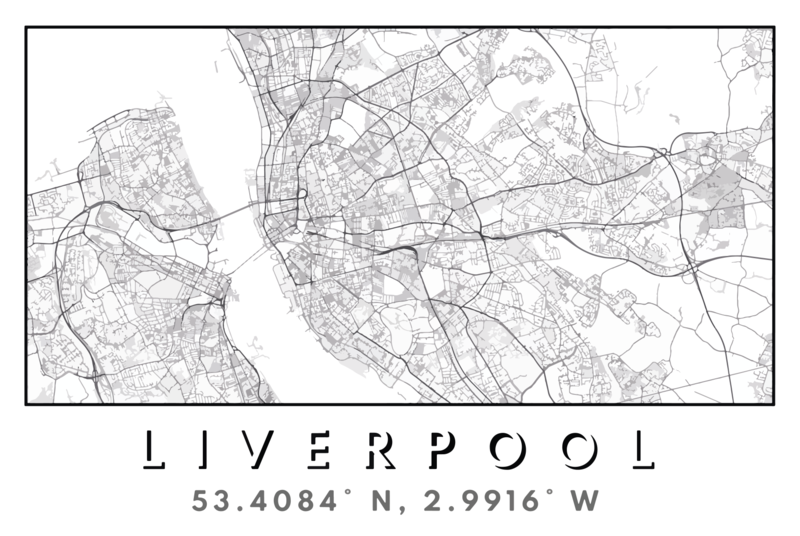
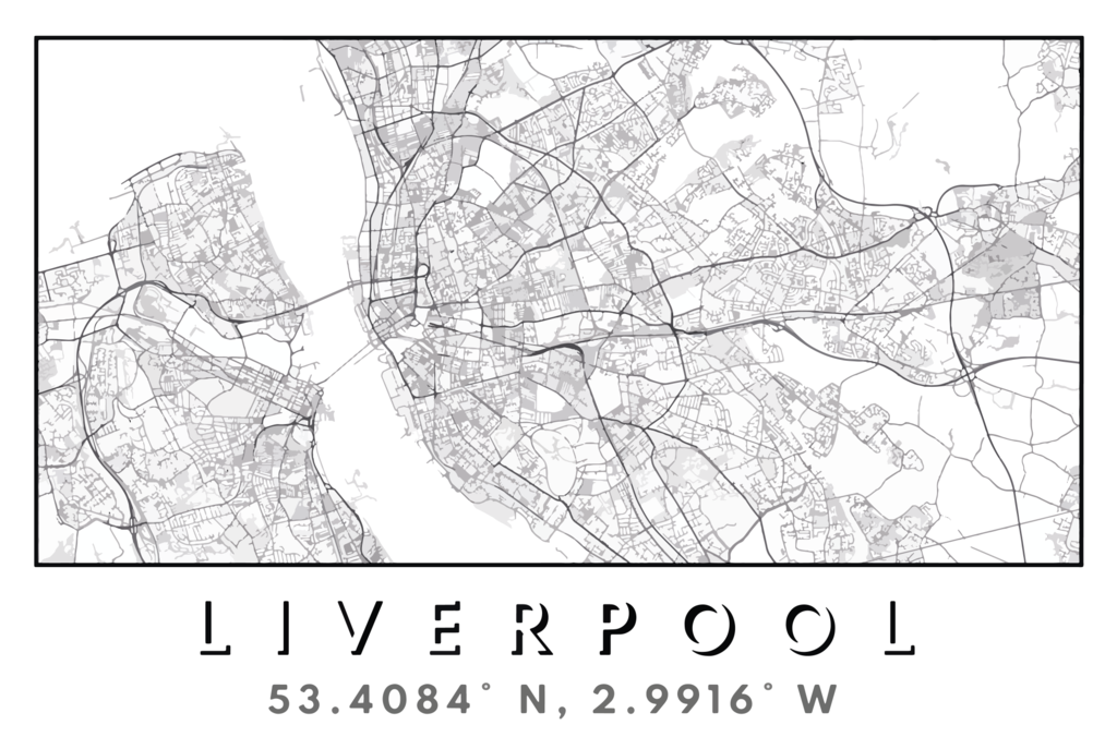
An artistic map of Liverpool and nearby suburbs.
Summary[edit]
| Description |
English: An artistic map of Liverpool and nearby suburbs.
Made using OSM data within Adobe Illustrator. This version has been traced into an SVG. |
| Date | |
| Source | Own work |
| Author | Francis Jesse Adair |
| Camera location | | View this and other nearby images on: OpenStreetMap |
|---|
Licensing[edit]
I, the copyright holder of this work, hereby publish it under the following license:
This file is licensed under the Creative Commons Attribution-Share Alike 4.0 International license.
- You are free:
- to share – to copy, distribute and transmit the work
- to remix – to adapt the work
- Under the following conditions:
- attribution – You must give appropriate credit, provide a link to the license, and indicate if changes were made. You may do so in any reasonable manner, but not in any way that suggests the licensor endorses you or your use.
- share alike – If you remix, transform, or build upon the material, you must distribute your contributions under the same or compatible license as the original.
File history
Click on a date/time to view the file as it appeared at that time.
| Date/Time | Thumbnail | Dimensions | User | Comment | |
|---|---|---|---|---|---|
| current | 16:15, 30 August 2022 | | 10,748 × 7,205 (6.31 MB) | AdairF (talk | contribs) | Uploaded own work with UploadWizard |
You cannot overwrite this file.
File usage on Commons
There are no pages that use this file.