File:Little Snoring Village sign.jpg
Jump to navigation
Jump to search
Size of this preview: 450 × 600 pixels. Other resolutions: 180 × 240 pixels | 480 × 640 pixels.
Original file (480 × 640 pixels, file size: 192 KB, MIME type: image/jpeg)
Captions
Captions
Add a one-line explanation of what this file represents
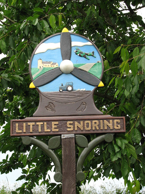
| Description | The Village sign, Little Snoring, Norfolk | ||
| Date | |||
| Source | https://www.geograph.org.uk/photo/849554 | ||
| Author | Evelyn Simak | ||
| Permission (Reusing this file) |
This file is licensed under the Creative Commons Attribution-Share Alike 2.0 Generic license. Attribution: Evelyn Simak
|

| Camera location | | View this and other nearby images on: OpenStreetMap |
|---|
_heading:22.00&language=en)
| Object location | | View this and other nearby images on: OpenStreetMap |
|---|
_heading:22.00&language=en)
File history
Click on a date/time to view the file as it appeared at that time.
| Date/Time | Thumbnail | Dimensions | User | Comment | |
|---|---|---|---|---|---|
| current | 21:16, 14 September 2008 | | 480 × 640 (192 KB) | Stavros1 (talk | contribs) | {{Information |Description= The Village sign, Little Snoring, Norfolk |Source=http://www.geograph.org.uk/photo/849554 |Date=Tuesday, 17 June, 2008 |Author=Evelyn Simak |Permission= {{Geograph|849554|Evelyn Simak }} |other_versions= }} [[Category:Signs |
You cannot overwrite this file.
File usage on Commons
There are no pages that use this file.
File usage on other wikis
The following other wikis use this file:
- Usage on en.wikipedia.org
- Usage on fa.wikipedia.org
- Usage on nl.wikipedia.org
- Usage on pl.wikipedia.org