File:LibertyBowlMemorialStadiumUSGSsat.png
Jump to navigation
Jump to search

Size of this preview: 800 × 527 pixels. Other resolutions: 320 × 211 pixels | 640 × 421 pixels | 992 × 653 pixels.
Original file (992 × 653 pixels, file size: 1.06 MB, MIME type: image/png)
Captions
Captions
Add a one-line explanation of what this file represents
| Description |
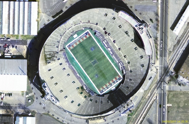
Français : Image satellite du Liberty Bowl Memorial Stadium. |
|||
| Date | upload date | |||
| Source |
Image satellite USGS EROS Ortho prise sur Nasa World Wind Originally from fr.wikipedia; description page is/was here. |
|||
| Author | NASA | |||
| Permission (Reusing this file) |
|

Original upload log[edit]
(All user names refer to fr.wikipedia)
- 2007-09-04 12:29 Betp 992×653×8 (1110221 bytes) Image satellite du Liberty Bowl Memorial Stadium ==Source== Image satellite USGS EROS Ortho prise sur Nasa World Wind ==Licence== {{Domaine public NASA}}
File history
Click on a date/time to view the file as it appeared at that time.
| Date/Time | Thumbnail | Dimensions | User | Comment | |
|---|---|---|---|---|---|
| current | 17:18, 4 September 2007 | | 992 × 653 (1.06 MB) | Poulos~commonswiki (talk | contribs) | {{Information |Description={{fr|Image satellite du [[:fr:Liberty Bowl Memorial Stadium|Liberty Bowl Memorial Stadium.}} |Source=Image satellite USGS EROS Ortho prise sur Nasa World Wind <br />Originally from [http://fr.wikipedia.org fr.wikipedia]; descrip |
You cannot overwrite this file.
File usage on Commons
There are no pages that use this file.
File usage on other wikis
The following other wikis use this file:
- Usage on en.wikipedia.org
- Usage on fr.wikipedia.org