File:Level crossing information plate - geograph.org.uk - 1800298.jpg
Level_crossing_information_plate_-_geograph.org.uk_-_1800298.jpg (640 × 480 pixels, file size: 321 KB, MIME type: image/jpeg)
Captions
Captions
Summary[edit]
| Description |
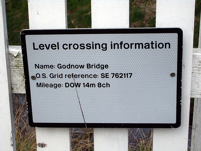
English: Level crossing information plate When I first spotted this plate I thought it had been provided by O.S. with the grid ref. shown, but further investigation led me to this website.
http://www.railwaycodes.org.uk/ELRs/ELR0.htm Engineer's Line References, (ELRs), are used by Britain's national railway system to describe individual routes. DOW 14m 8ch indicates the route from Doncaster railway station to Godnow Bridge, covering a distance of 14 miles 8 chains. The chain is an imperial measure equalling 22 yards. As the majority of railways were built in the nineteenth century, it is usually more convenient to stick with older units of measurement, rather than try to convert all records to modern standards. Thanks to Phil Deaves for providing the information. |
| Date | |
| Source | From geograph.org.uk |
| Author | Mike Kirby |
| Attribution (required by the license) | Mike Kirby / Level crossing information plate / |
| Camera location | | View this and other nearby images on: OpenStreetMap |
|---|
_heading:45.00&language=en)
| Object location | | View this and other nearby images on: OpenStreetMap |
|---|
_heading:45.00&language=en)
Licensing[edit]

|
This image was taken from the Geograph project collection. See this photograph's page on the Geograph website for the photographer's contact details. The copyright on this image is owned by Mike Kirby and is licensed for reuse under the Creative Commons Attribution-ShareAlike 2.0 license.
|
- You are free:
- to share – to copy, distribute and transmit the work
- to remix – to adapt the work
- Under the following conditions:
- attribution – You must give appropriate credit, provide a link to the license, and indicate if changes were made. You may do so in any reasonable manner, but not in any way that suggests the licensor endorses you or your use.
- share alike – If you remix, transform, or build upon the material, you must distribute your contributions under the same or compatible license as the original.
File history
Click on a date/time to view the file as it appeared at that time.
| Date/Time | Thumbnail | Dimensions | User | Comment | |
|---|---|---|---|---|---|
| current | 14:17, 14 March 2011 | | 640 × 480 (321 KB) | GeographBot (talk | contribs) | == {{int:filedesc}} == {{Information |description={{en|1=Level crossing information plate When I first spotted this plate I thought it had been provided by O.S. with the grid ref. shown, but further investigation led me to this website. http://deaves47.u |
You cannot overwrite this file.
File usage on Commons
The following 2 pages use this file:
File usage on other wikis
The following other wikis use this file:
- Usage on www.wikidata.org