File:Level Mountain 3D topo.jpg
Jump to navigation
Jump to search
Size of this preview: 800 × 416 pixels. Other resolutions: 320 × 166 pixels | 640 × 333 pixels | 1,024 × 532 pixels | 1,280 × 665 pixels | 2,560 × 1,331 pixels | 4,080 × 2,121 pixels.
Original file (4,080 × 2,121 pixels, file size: 1.33 MB, MIME type: image/jpeg)
Captions
Captions
Add a one-line explanation of what this file represents
Summary[edit]
| Description |
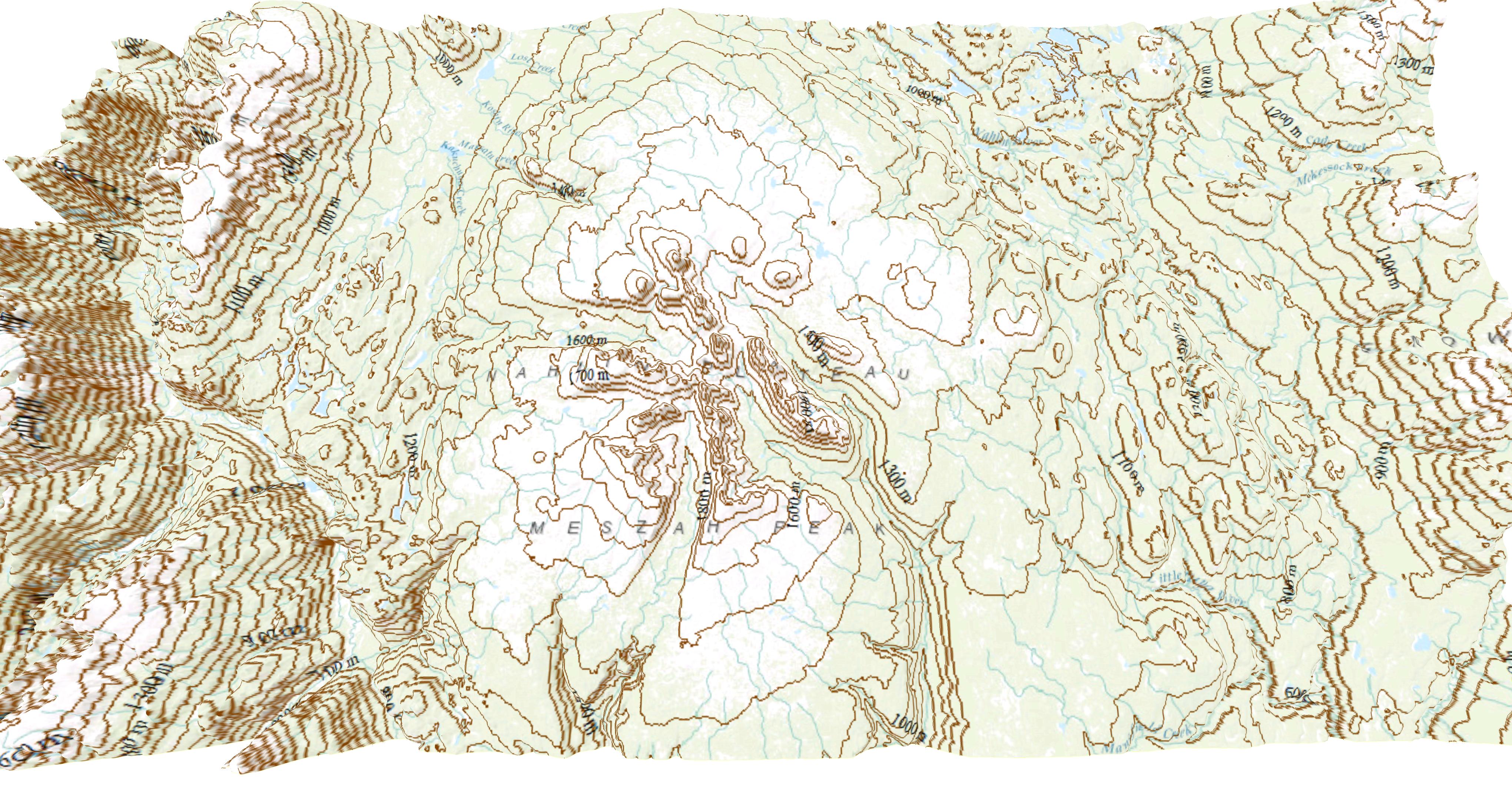
English: Level Mountain 3D topo. Contour: 25 m x 100 m |
| Date | |
| Source | Topographic data SRTM from NASA and World Imagery |
| Author | Asybaris01 |
Licensing[edit]
| This file is in the public domain in the United States because it was solely created by NASA. NASA copyright policy states that "NASA material is not protected by copyright unless noted". (See Template:PD-USGov, NASA copyright policy page or JPL Image Use Policy.) | ||
 |
Warnings:
|
File history
Click on a date/time to view the file as it appeared at that time.
| Date/Time | Thumbnail | Dimensions | User | Comment | |
|---|---|---|---|---|---|
| current | 17:29, 14 September 2016 | | 4,080 × 2,121 (1.33 MB) | Asybaris01 (talk | contribs) | User created page with UploadWizard |
You cannot overwrite this file.
File usage on Commons
The following page uses this file: