File:Lein-Flusslauf.jpg
Original file (4,608 × 3,456 pixels, file size: 8.97 MB, MIME type: image/jpeg)
Captions
Summary[edit]
DescriptionLein-Flusslauf.jpg |
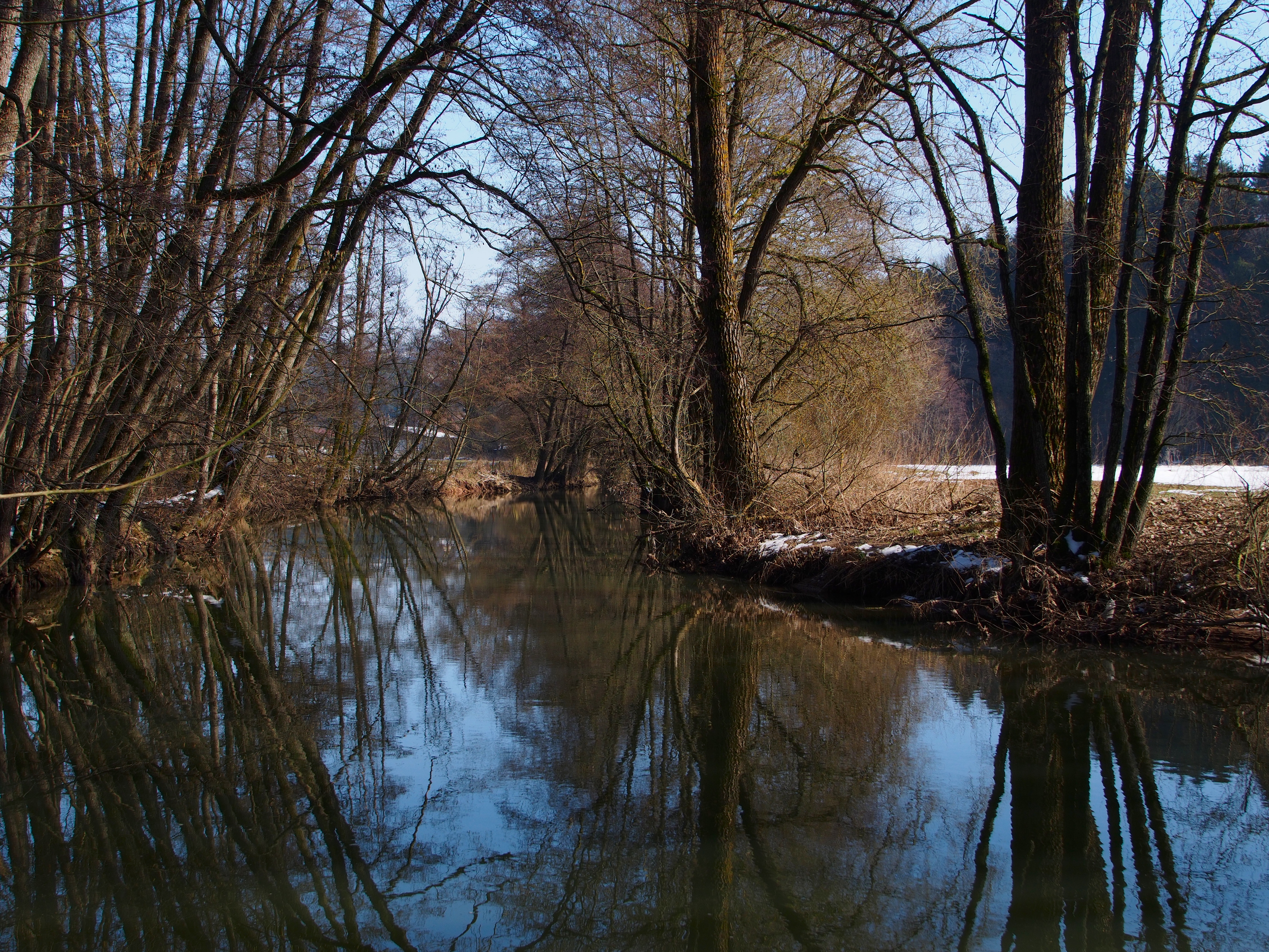
English: Course of small river Lein, Germany, below Leinzell
Deutsch: Lauf der Lein unterhalb Leinzell |
|||||||||
Date | ||||||||||
Source | Own work | |||||||||
Author | Kreuzschnabel | |||||||||
Permission (Reusing this file) |
I, the copyright holder of this work, hereby publish it under the following license: This file is licensed under the Creative Commons Attribution-Share Alike 3.0 Unported license.
|
Camera location | 48° 50′ 54.93″ N, 9° 53′ 42.59″ E | View this and other nearby images on: OpenStreetMap | 48.848592; 9.895164 |
---|
This image has been assessed using the Quality image guidelines and is considered a Quality image.
العربية ∙ جازايرية ∙ беларуская ∙ беларуская (тарашкевіца) ∙ български ∙ বাংলা ∙ català ∙ čeština ∙ Cymraeg ∙ Deutsch ∙ Schweizer Hochdeutsch ∙ Zazaki ∙ Ελληνικά ∙ English ∙ Esperanto ∙ español ∙ eesti ∙ euskara ∙ فارسی ∙ suomi ∙ français ∙ galego ∙ עברית ∙ हिन्दी ∙ hrvatski ∙ magyar ∙ հայերեն ∙ Bahasa Indonesia ∙ italiano ∙ 日本語 ∙ Jawa ∙ ქართული ∙ 한국어 ∙ kurdî ∙ Lëtzebuergesch ∙ lietuvių ∙ македонски ∙ മലയാളം ∙ मराठी ∙ Bahasa Melayu ∙ Nederlands ∙ Norfuk / Pitkern ∙ polski ∙ português ∙ português do Brasil ∙ rumantsch ∙ română ∙ русский ∙ sicilianu ∙ slovenčina ∙ slovenščina ∙ shqip ∙ српски / srpski ∙ svenska ∙ தமிழ் ∙ తెలుగు ∙ ไทย ∙ Tagalog ∙ Türkçe ∙ toki pona ∙ українська ∙ vèneto ∙ Tiếng Việt ∙ 中文 ∙ 中文(简体) ∙ 中文(繁體) ∙ +/− |
File history
Click on a date/time to view the file as it appeared at that time.
Date/Time | Thumbnail | Dimensions | User | Comment | |
---|---|---|---|---|---|
current | 17:49, 21 March 2013 | 4,608 × 3,456 (8.97 MB) | Kreuzschnabel (talk | contribs) | {{Information |Description ={{en|1=Course of small river Lein, Germany, below Leinzell}} {{de|1=Lauf der Lein unterhalb Leinzell}} |Source ={{own}} |Author =Kreuzschnabel |Date =2013-03-03 |Permission... |
You cannot overwrite this file.
File usage on Commons
The following 3 pages use this file:
File usage on other wikis
The following other wikis use this file:
- Usage on de.wikipedia.org
Metadata
This file contains additional information such as Exif metadata which may have been added by the digital camera, scanner, or software program used to create or digitize it. If the file has been modified from its original state, some details such as the timestamp may not fully reflect those of the original file. The timestamp is only as accurate as the clock in the camera, and it may be completely wrong.
Image title | OLYMPUS DIGITAL CAMERA |
---|---|
Camera manufacturer | OLYMPUS IMAGING CORP. |
Camera model | E-M5 |
Exposure time | 1/500 sec (0.002) |
F-number | f/5.6 |
ISO speed rating | 200 |
Date and time of data generation | 11:39, 3 March 2013 |
Lens focal length | 22 mm |
Width | 4,608 px |
Height | 3,456 px |
Compression scheme | Uncompressed |
Pixel composition | RGB |
Orientation | Normal |
Number of components | 3 |
Horizontal resolution | 300 dpi |
Vertical resolution | 300 dpi |
Data arrangement | chunky format |
Software used | RawTherapee |
File change date and time | 11:39, 3 March 2013 |
Exposure Program | Manual |
Exif version | 2.3 |
Date and time of digitizing | 11:39, 3 March 2013 |
APEX exposure bias | 0 |
Maximum land aperture | 2.97265625 APEX (f/2.8) |
Metering mode | Center weighted average |
Light source | Fine weather |
Flash | Flash did not fire, compulsory flash firing |
File source | Digital still camera |
Custom image processing | Normal process |
Exposure mode | Manual exposure |
White balance | Manual white balance |
Digital zoom ratio | 1 |
Scene capture type | Standard |
Scene control | None |
Contrast | Normal |
Saturation | Normal |
Sharpness | Soft |
Structured data
Items portrayed in this file
depicts
3 March 2013
48°50'54.931"N, 9°53'42.590"E
0.002 second
5.6
22 millimetre
200
image/jpeg
- CC-BY-SA-3.0
- Self-published work
- License migration redundant
- GFDL
- FAL
- Files with coordinates missing SDC location of creation (48° N, 9° E)
- Quality images
- Quality images missing SDC depicts
- Images by Kreuzschnabel/Natur
- Images by Kreuzschnabel/Landschaften
- Taken with Olympus E-M5
- Images by Kreuzschnabel/Schwäbisch Gmünd und Ostalbkreis
- Pages with maps