File:Le Caylar-Le Roc-Castel.jpg
Jump to navigation
Jump to search

Size of this preview: 800 × 533 pixels. Other resolutions: 320 × 213 pixels | 640 × 427 pixels | 1,024 × 683 pixels | 1,280 × 853 pixels | 2,560 × 1,707 pixels | 4,272 × 2,848 pixels.
Original file (4,272 × 2,848 pixels, file size: 1.82 MB, MIME type: image/jpeg)
Captions
Captions
Add a one-line explanation of what this file represents
| Description |
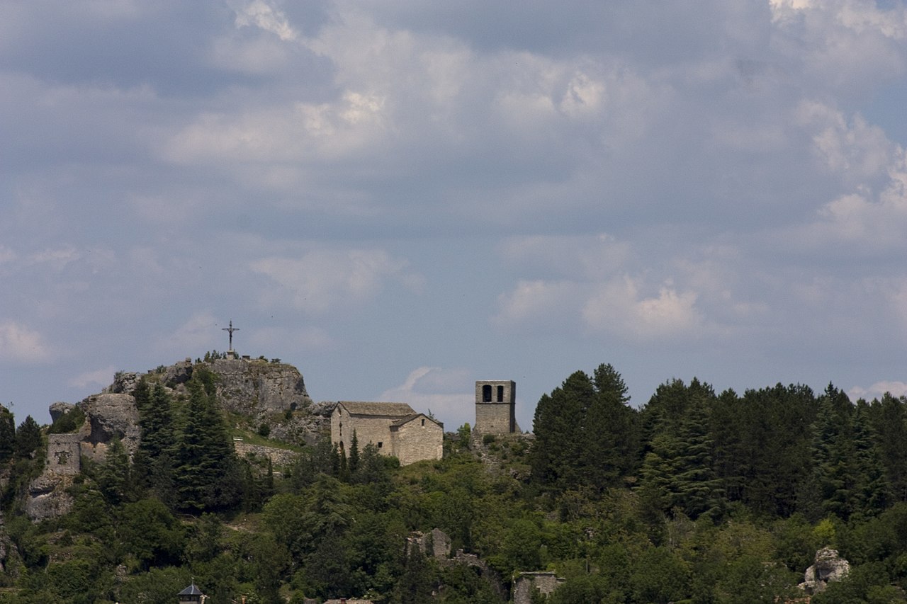
The site of Castle Rock is the castle of the village of Caylar. In the advanced fortifications of the ancient castle remains no more than the parish church. | |
| Protection |
|
|
| Date | Taken on 26 June 2010. | |
| Source | Own work. | |
| Author | Daniel VILLAFRUELA. | |
| Permission (Reusing this file) |
Daniel VILLAFRUELA, the copyright holder of this work, hereby publishes it under the following license: This file is licensed under the Creative Commons Attribution-Share Alike 3.0 Unported license. Attribution: Daniel VILLAFRUELA
|
| Object location | | View this and other nearby images on: OpenStreetMap |
|---|
| Camera location | | View this and other nearby images on: OpenStreetMap |
|---|
File history
Click on a date/time to view the file as it appeared at that time.
| Date/Time | Thumbnail | Dimensions | User | Comment | |
|---|---|---|---|---|---|
| current | 02:26, 2 July 2010 | | 4,272 × 2,848 (1.82 MB) | Daniel VILLAFRUELA (talk | contribs) | {{Information |Description={{fr|1= Rocher taille faisant partie à la fois de l' ancienne fortification et de l' ancien château, édifié de la fin du 11e à la fin du 12e siècle ; cet élément, qui a donné son nom au lieu (le "roc castel") est peut-� |
You cannot overwrite this file.
File usage on Commons
The following 3 pages use this file:
File usage on other wikis
The following other wikis use this file:
- Usage on fr.wikipedia.org
- Usage on www.wikidata.org