File:Laughery Creek from the Triple Whipple.jpg
Jump to navigation
Jump to search
Size of this preview: 800 × 532 pixels. Other resolutions: 320 × 213 pixels | 640 × 426 pixels | 1,024 × 681 pixels | 1,280 × 851 pixels | 2,560 × 1,702 pixels | 6,016 × 4,000 pixels.
Original file (6,016 × 4,000 pixels, file size: 7.33 MB, MIME type: image/jpeg)
Captions
Captions
Add a one-line explanation of what this file represents
| Camera location | | View this and other nearby images on: OpenStreetMap |
|---|
| Description |
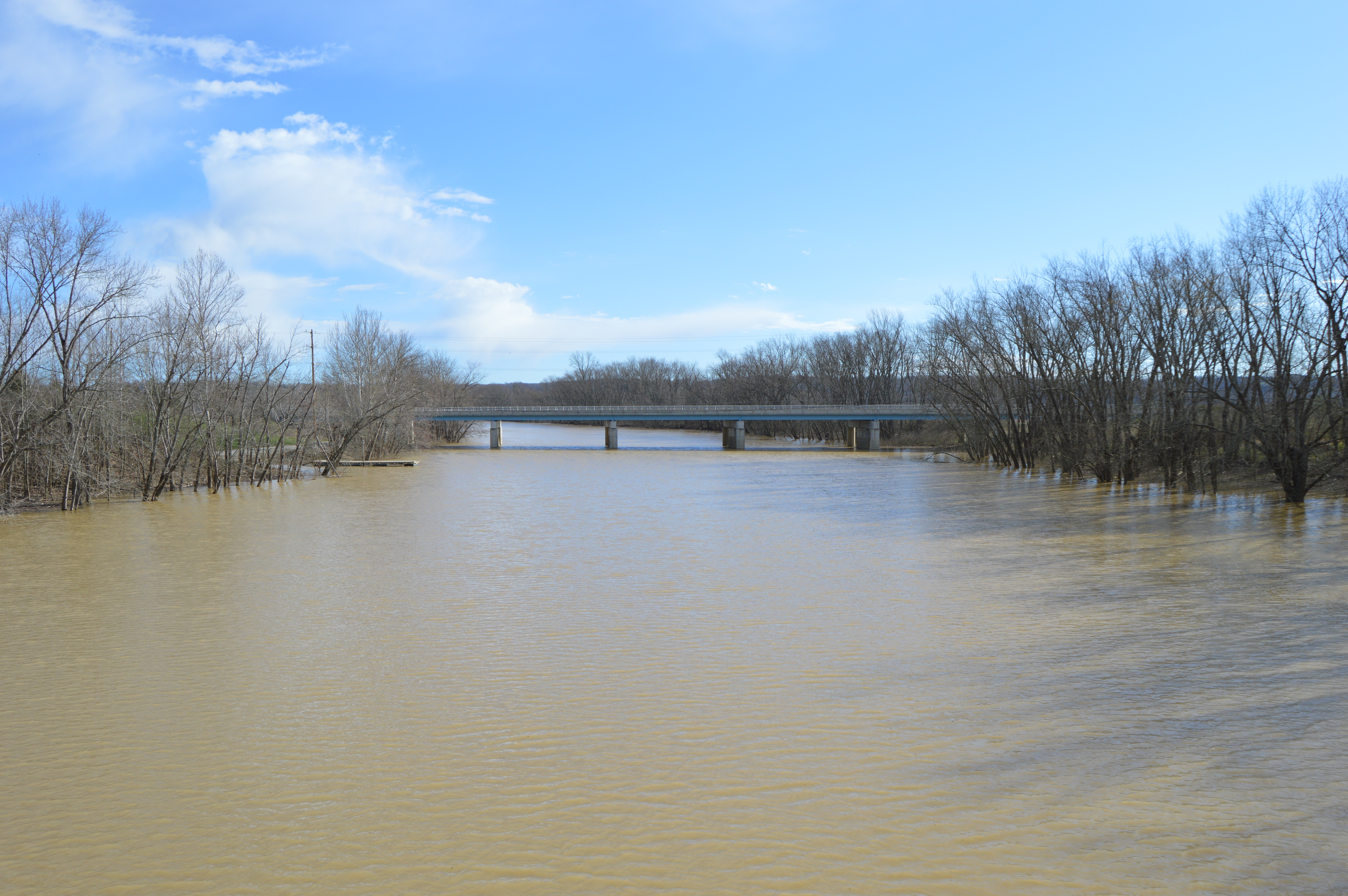
English: Laughery Creek near its mouth; the right side is in Ohio County, and the left in Dearborn County. Photo looks downstream from the Laughery Creek Bridge just southwest of Aurora, Indiana, United States; the State Road 56 bridge, built in 1959, is visible in the distance. |
||
| Date | Taken on 17 March 2016 | ||
| Source | Own work | ||
| Author | Nyttend | ||
| Permission (Reusing this file) |
|
File history
Click on a date/time to view the file as it appeared at that time.
| Date/Time | Thumbnail | Dimensions | User | Comment | |
|---|---|---|---|---|---|
| current | 18:04, 8 April 2016 | | 6,016 × 4,000 (7.33 MB) | Nyttend (talk | contribs) | {{Location|39|1|29|N|84|53|9.5|W}} {{Information |Description={{en|{{w|Laughery Creek}} near its mouth; the right side is in {{w|Ohio County, Indiana|Ohio County}}, and the left in {{w|Dearborn County, Indiana|Dearborn County}}. Photo looks downstream... |
You cannot overwrite this file.
File usage on Commons
There are no pages that use this file.
File usage on other wikis
The following other wikis use this file:
- Usage on de.wikipedia.org