File:Large Jacksonville Landsat.PNG
Jump to navigation
Jump to search

Size of this preview: 800 × 556 pixels. Other resolutions: 320 × 222 pixels | 640 × 445 pixels | 1,024 × 712 pixels | 1,272 × 884 pixels.
Original file (1,272 × 884 pixels, file size: 2.81 MB, MIME type: image/png)
Captions
Captions
Add a one-line explanation of what this file represents
Summary[edit]
| Description |
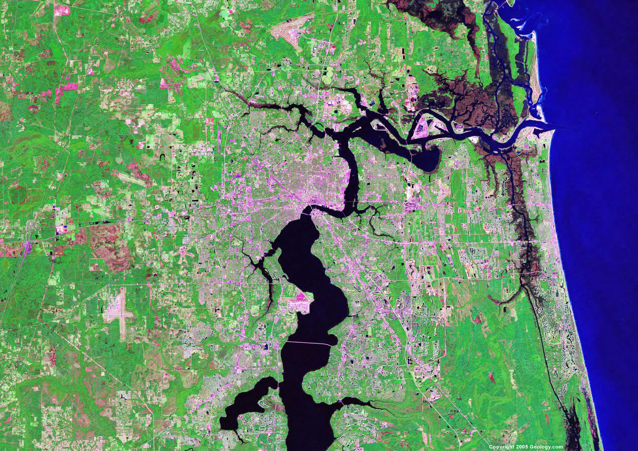
English: Landsat Image of Jacksonville, Florida, United States and its vicinity. |
| Date | before November 2007 |
| Source | http://geology.com/satellite/cities/ (direct link) |
| Author | NASA |
Licensing[edit]
| This file is in the public domain in the United States because it was solely created by NASA. NASA copyright policy states that "NASA material is not protected by copyright unless noted". (See Template:PD-USGov, NASA copyright policy page or JPL Image Use Policy.) | ||
 |
Warnings:
|
Original upload log[edit]
The original description page was here. All following user names refer to en.wikipedia.
- 2007-11-03 20:01 1,272×884 (2.81MB) Georgian ''NASA image: This image was created by NASA and taken from a NASA website or publication. NASA copyright policy notes that "NASA material is not protected by copyright unless noted". For more information, please refer to the NASA copyright policy page.''
File history
Click on a date/time to view the file as it appeared at that time.
| Date/Time | Thumbnail | Dimensions | User | Comment | |
|---|---|---|---|---|---|
| current | 12:35, 17 March 2013 | | 1,272 × 884 (2.81 MB) | Yassie (talk | contribs) | {{Information |Description= Landsat Image of Jacksonville, Florida, United States and its vicinity. |Source= NASA |Date= unknown |Author= NASA |Permission= |other_versions= }} |
You cannot overwrite this file.
File usage on Commons
There are no pages that use this file.
File usage on other wikis
The following other wikis use this file:
- Usage on en.wikinews.org
- Usage on fr.wikipedia.org