File:Lake Gabozero Kondopozhsky district Marcial Waters.jpg
Jump to navigation
Jump to search

Size of this preview: 800 × 600 pixels. Other resolutions: 320 × 240 pixels | 640 × 480 pixels | 1,024 × 768 pixels | 1,280 × 960 pixels.
Original file (1,280 × 960 pixels, file size: 252 KB, MIME type: image/jpeg)
Captions
Captions
Add a one-line explanation of what this file represents
| Description | |
| Date | |
| Source | Personal archive of Valery Kukin. |
| Author |
English: Valery Kukin
Русский: Кукин Валерий Дмитриевич |
| Permission (Reusing this file) |
| I, the copyright holder of this work, release this work into the public domain. This applies worldwide. In some countries this may not be legally possible; if so: I grant anyone the right to use this work for any purpose, without any conditions, unless such conditions are required by law. |
File history
Click on a date/time to view the file as it appeared at that time.
| Date/Time | Thumbnail | Dimensions | User | Comment | |
|---|---|---|---|---|---|
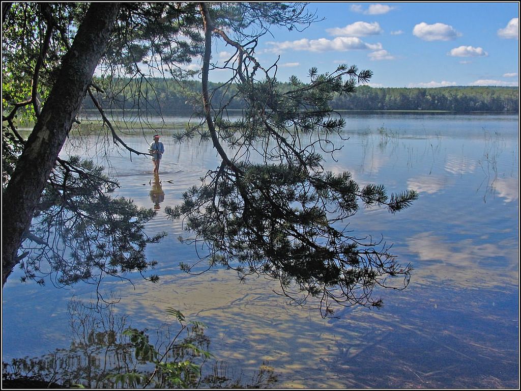
| current | 09:31, 4 May 2015 | | 1,280 × 960 (252 KB) | AKA MBG (talk | contribs) | {{Information |Description= {{en|The lake Gabozero ({{w|Kondopozhsky District||en}}), {{w|Марциальные Воды|Marcial Waters|ru}}, Karelia.}} {{ru|{{w|Габозеро (озеро, Кондопожский район)||ru}} ({{w|Марц... |
You cannot overwrite this file.
File usage on Commons
The following page uses this file:
File usage on other wikis
The following other wikis use this file:
- Usage on fi.wikipedia.org
- Usage on olo.wikipedia.org
- Usage on ru.wikipedia.org
- Usage on ru.wikivoyage.org
- Usage on www.wikidata.org
- Usage on zh.wikipedia.org