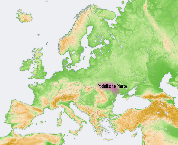
File:Lagekarte Podolische Platte.png
Jump to navigation
Jump to search

Size of this preview: 737 × 599 pixels. Other resolutions: 295 × 240 pixels | 590 × 480 pixels | 944 × 768 pixels | 1,259 × 1,024 pixels | 1,473 × 1,198 pixels.
Original file (1,473 × 1,198 pixels, file size: 1.04 MB, MIME type: image/png)
Captions
Captions
Add a one-line explanation of what this file represents
| Description |
|
| Date | |
| Source |
Own work, using:
|
| Author | Maximilian Dörrbecker (Chumwa) |
| Permission (Reusing this file) |
I, the copyright holder of this work, hereby publish it under the following license: This file is licensed under the Creative Commons Attribution-Share Alike 2.5 Generic license.
Sie dürfen das Bild zu den folgenden Bedingungen nutzen:
|
File history
Click on a date/time to view the file as it appeared at that time.
| Date/Time | Thumbnail | Dimensions | User | Comment | |
|---|---|---|---|---|---|
| current | 19:50, 6 March 2020 | | 1,473 × 1,198 (1.04 MB) | Claude Zygiel (talk | contribs) | Der Podolosche Platte unterscheidet sich von der Moldauisches Platte : [http://www.encyclopediaofukraine.com/display.asp?linkpath=pages\B\E\Bessarabia.htm Bessarabia] |
| 18:54, 7 October 2009 |  | 2,046 × 1,664 (2.96 MB) | Chumwa (talk | contribs) | {{Information |Description= *{{ de }} Landschaften der Osteuropäischen Ebene: Podolische Platte |Source={{Own}}, using: *this file, based on a map by San Jose which was cr |
You cannot overwrite this file.
File usage on Commons
The following 2 pages use this file:
File usage on other wikis
The following other wikis use this file:
- Usage on fr.wikipedia.org
- Usage on ky.wikipedia.org
- Usage on ro.wikipedia.org