File:Kursk Map (late XIX century).jpg

Original file (713 × 764 pixels, file size: 474 KB, MIME type: image/jpeg)
Captions
Captions
| Description |
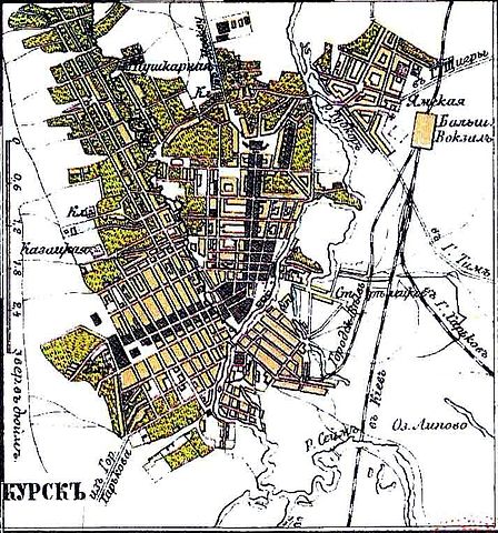
Русский: Карта Курска конца XIX века English: Kursk Map (Late XIX century) |
| Date | (UTC) |
| Source | old map |
| Author | derivative work: Transcend (rus) (talk) |
|
This work is in the public domain in its country of origin and other countries and areas where the copyright term is the author's life plus 70 years or fewer.
| |
| This file has been identified as being free of known restrictions under copyright law, including all related and neighboring rights. | |
Original upload log
[edit].jpg&action=edit§ion=1)
This image is a derivative work of the following images:
- File:Kursk_Gubernia_Map_(late_XIX_century).jpg licensed with PD-old
- 2009-07-14T12:34:14Z Transcend (rus) 3519x2552 (1740790 Bytes) {{Information |Description= {{ru|Карта Курской губернии конца XIX века}} {{en|Kursk Gubernia Map (Russian empire)}}арта к |Source= |Date= late XIX century |Author=unknown |other_versions= }}
.jpg)
Uploaded with derivativeFX
File history
Click on a date/time to view the file as it appeared at that time.
| Date/Time | Thumbnail | Dimensions | User | Comment | |
|---|---|---|---|---|---|
| current | 19:47, 8 August 2009 | | 713 × 764 (474 KB) | Transcend (rus) (talk | contribs) | {{Information |Description={{ru|Карта Курска конца XIX века}} {{en|Kursk Map (Late XIX century)}} |Source=*File:Kursk_Gubernia_Map_(late_XIX_century).jpg |Date=2009-08-08 19:40 (UTC) |Author=*[[:File:Kursk_Gubernia_Map_(late_XIX_ |
You cannot overwrite this file.
File usage on Commons
There are no pages that use this file.
File usage on other wikis
The following other wikis use this file:
- Usage on ru.wikipedia.org
- Usage on uk.wikipedia.org
.jpg&oldid=497352824)