File:Krasnodar Krai Map.png
Jump to navigation
Jump to search
No higher resolution available.
Krasnodar_Krai_Map.png (587 × 550 pixels, file size: 168 KB, MIME type: image/png)
Captions
Captions
Add a one-line explanation of what this file represents
Summary[edit]
| Description |
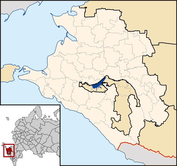
Русский: Карта Краснодарского Края.
English: Map of Krasnodar Krai.
Հայերեն: Կրասնոդարի երկրամասի քարտեզը։ |
| Date | 23 March 2008 (original upload date) |
| Source | Transferred from ru.wikipedia to Commons. |
| Author | Vermonter at Russian Wikipedia |
Licensing[edit]
| This work has been released into the public domain by its author, Vermonter at Russian Wikipedia. This applies worldwide. In some countries this may not be legally possible; if so: Vermonter grants anyone the right to use this work for any purpose, without any conditions, unless such conditions are required by law. |
File history
Click on a date/time to view the file as it appeared at that time.
| Date/Time | Thumbnail | Dimensions | User | Comment | |
|---|---|---|---|---|---|
| current | 09:15, 25 February 2022 | | 587 × 550 (168 KB) | RosssW (talk | contribs) | Сириус |
| 07:17, 14 August 2014 |  | 587 × 550 (61 KB) | Nicolay Sidorov (talk | contribs) | fix Moscow border | |
| 09:25, 10 June 2014 |  | 587 × 550 (61 KB) | Nicolay Sidorov (talk | contribs) | + Крым | |
| 17:58, 13 March 2009 |  | 587 × 550 (61 KB) | Sphayros (talk | contribs) | Абхазия показана заграницей | |
| 07:47, 26 March 2008 |  | 587 × 550 (63 KB) | Obersachse (talk | contribs) | {{Information |Description={{ru|== Лицензия ==}} |Source=Transferred from [http://ru.wikipedia.org ru.wikipedia] |Date=2008-03-23 (first version); 2008-03-23 (last version) |Author=Original uploader was [[:ru:User:VladislaV Tuchkov|VladislaV Tuchk |
You cannot overwrite this file.
File usage on Commons
There are no pages that use this file.
File usage on other wikis
The following other wikis use this file:
- Usage on ba.wikipedia.org
- Usage on ce.wikipedia.org
- Usage on de.wikipedia.org
- Usage on en.wikipedia.org
- Usage on es.wikipedia.org
- Usage on hu.wiktionary.org
- Usage on hy.wikipedia.org
- Usage on ru.wikipedia.org
- Usage on sl.wikipedia.org
- Usage on sr.wikipedia.org
- Usage on zh.wikipedia.org