File:Kraków dzielnice blank map.png
Jump to navigation
Jump to search
No higher resolution available.
Kraków_dzielnice_blank_map.png (644 × 460 pixels, file size: 46 KB, MIME type: image/png)
Captions
Captions
Add a one-line explanation of what this file represents
Summary[edit]
| Description |
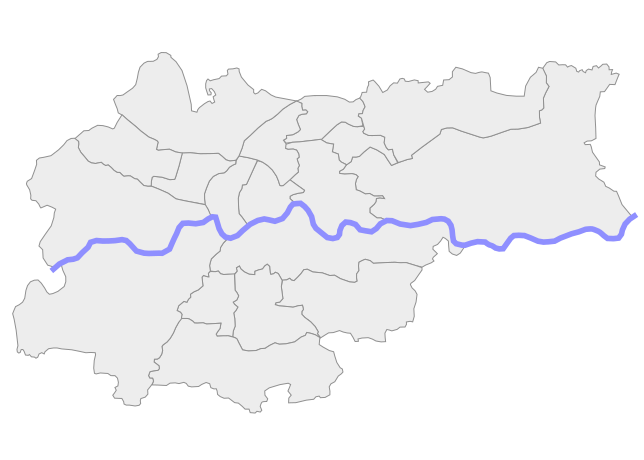
Polski: Kraków z dzielnicami, mapa lokalizacyjna (blank version) English: Location map of Kraków, Poland (blank version) |
| Date | |
| Source | Image:Kraków dzielnice.svg with removed numbers |
| Author | Vladek Komorek |
Licensing[edit]

|
Permission is granted to copy, distribute and/or modify this document under the terms of the GNU Free Documentation License, Version 1.2 or any later version published by the Free Software Foundation; with no Invariant Sections, no Front-Cover Texts, and no Back-Cover Texts. A copy of the license is included in the section entitled GNU Free Documentation License. |
| This file is licensed under the Creative Commons Attribution-Share Alike 3.0 Unported license. | ||
| ||
| This licensing tag was added to this file as part of the GFDL licensing update. |
File history
Click on a date/time to view the file as it appeared at that time.
| Date/Time | Thumbnail | Dimensions | User | Comment | |
|---|---|---|---|---|---|
| current | 16:46, 20 August 2018 | | 644 × 460 (46 KB) | Tacsipacsi (talk | contribs) | transparent background |
| 18:00, 8 May 2016 |  | 644 × 460 (51 KB) | Winnetou14 (talk | contribs) | cd | |
| 17:30, 8 May 2016 |  | 644 × 460 (56 KB) | Winnetou14 (talk | contribs) | correction | |
| 20:07, 2 April 2015 |  | 745 × 525 (61 KB) | Winnetou14 (talk | contribs) | better colours | |
| 11:12, 14 June 2010 |  | 1,000 × 704 (56 KB) | Władysław Komorek (talk | contribs) | Grey background added | |
| 08:00, 4 June 2010 |  | 1,000 × 704 (55 KB) | Władysław Komorek (talk | contribs) | {{Information |Description= Kraków, Poland (blank version) |Source={{own}} |Date= 5/6/2010 |Author=WlaKom |Permission= |other_versions= }} Category:Maps of Kraków |
You cannot overwrite this file.
File usage on Commons
The following 7 pages use this file:
File usage on other wikis
The following other wikis use this file:
- Usage on he.wikipedia.org
- קרקוב
- האוניברסיטה היגלונית
- קתדרלת ואוול
- ואוול
- בית הכנסת העתיק (קרקוב)
- בית כנסת הרמ"א
- ברביקן קרקוב
- בית הקברות היהודי העתיק בקרקוב
- תבנית:מפת מיקום/קרקוב
- בזיליקת מריה הקדושה (קרקוב)
- אייזיק שול
- הויכע שול (קרקוב)
- הכיכר המרכזית של קרקוב
- כלא מונטלופיך
- אולם הבדים (קרקוב)
- טירת ואוול
- העיר העתיקה של קרקוב
- הויובה גורקה
- פודגוז'ה
- פארק פלנטי
- טינייץ
- ויקיפדיה:מיזמי ויקיפדיה/אתר האנציקלופדיה היהודית/מיון נושאים: לוויקי/אייזיק שול
- ויקיפדיה:מיזמי ויקיפדיה/אתר האנציקלופדיה היהודית/מיון נושאים: לוויקי/הויכע שול (קרקוב)
- המוזיאון היהודי בגליציה
- מפעל האמייל של שינדלר המוזיאון
- Usage on pl.wikipedia.org
- Usage on uk.wikipedia.org