File:Kočičí hřbet.jpg
Jump to navigation
Jump to search

Size of this preview: 400 × 600 pixels. Other resolutions: 160 × 240 pixels | 320 × 480 pixels | 512 × 768 pixels | 682 × 1,024 pixels | 2,432 × 3,648 pixels.
Original file (2,432 × 3,648 pixels, file size: 3.48 MB, MIME type: image/jpeg)
Captions
Captions
Add a one-line explanation of what this file represents
Summary
[edit]
| Description |
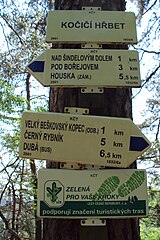
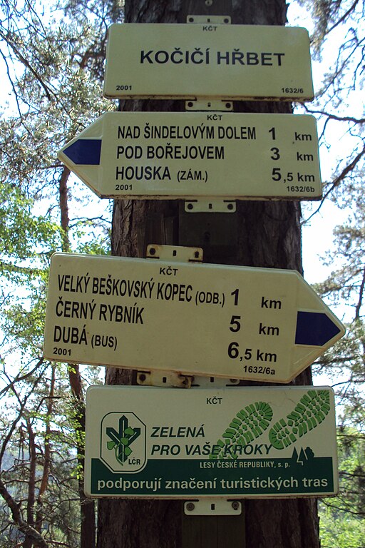
Čeština: Kočičí hřbet je na cestě od Velkého Beškovského kopce (a Dubé) směrem na Housku, katastr obce Blatce, Kokořínsko |
| Date | |
| Source | Own work |
| Author | Zákupák |
| Camera location | | View this and other nearby images on: OpenStreetMap |
|---|
Licensing
[edit]
| I, the copyright holder of this work, release this work into the public domain. This applies worldwide. In some countries this may not be legally possible; if so: I grant anyone the right to use this work for any purpose, without any conditions, unless such conditions are required by law. |
File history
Click on a date/time to view the file as it appeared at that time.
| Date/Time | Thumbnail | Dimensions | User | Comment | |
|---|---|---|---|---|---|
| current | 14:57, 25 April 2011 | | 2,432 × 3,648 (3.48 MB) | Zákupák (talk | contribs) | {{Information |Description ={{cs|1=Kočičí hřbet je na cestě od Velkého Beškovského kopce (a Dubé) směrem na Housku, katastr obce Blatce, Kokořínsko}} |Source ={{own}} |Author =Zákupák |Date =20 |
You cannot overwrite this file.
File usage on Commons
There are no pages that use this file.