File:Kingman-az-map.jpg
Jump to navigation
Jump to search
No higher resolution available.
Kingman-az-map.jpg (575 × 425 pixels, file size: 64 KB, MIME type: image/jpeg)
Captions
Captions
Add a one-line explanation of what this file represents
Summary[edit]
| Description | |
| Date | |
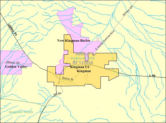
| Source | US Census |
| Author | US Census |
| Permission (Reusing this file) |
US Government |
Licensing[edit]
This image or file is a work of a United States Census Bureau employee, taken or made as part of that person's official duties. As a work of the U.S. federal government, the image is in the public domain.
|
 |
Original upload log[edit]
Transferred from en.wikipedia to Commons by Milicevic01 using CommonsHelper.
The original description page was here. All following user names refer to en.wikipedia.
- 2009-01-13 16:13 Godheval 575×425× (65276 bytes) {{Information |Description=[[Kingman, Arizona]] |Source=US Census |Date=September 2008 |Author=US Census |Permission=US Government |other_versions= }}
File history
Click on a date/time to view the file as it appeared at that time.
| Date/Time | Thumbnail | Dimensions | User | Comment | |
|---|---|---|---|---|---|
| current | 19:57, 23 August 2013 | | 575 × 425 (64 KB) | File Upload Bot (Magnus Manske) (talk | contribs) | Transfered from en.wikipedia by User:Milicevic01 using CommonsHelper |
You cannot overwrite this file.
File usage on Commons
There are no pages that use this file.
File usage on other wikis
The following other wikis use this file:
- Usage on azb.wikipedia.org
- Usage on en.wikipedia.org
- Usage on ur.wikipedia.org
- Usage on zh.wikipedia.org