File:Kazan location map.svg

Original file (SVG file, nominally 964 × 1,063 pixels, file size: 5.99 MB)
Captions
Captions
Summary[edit]
| Description |
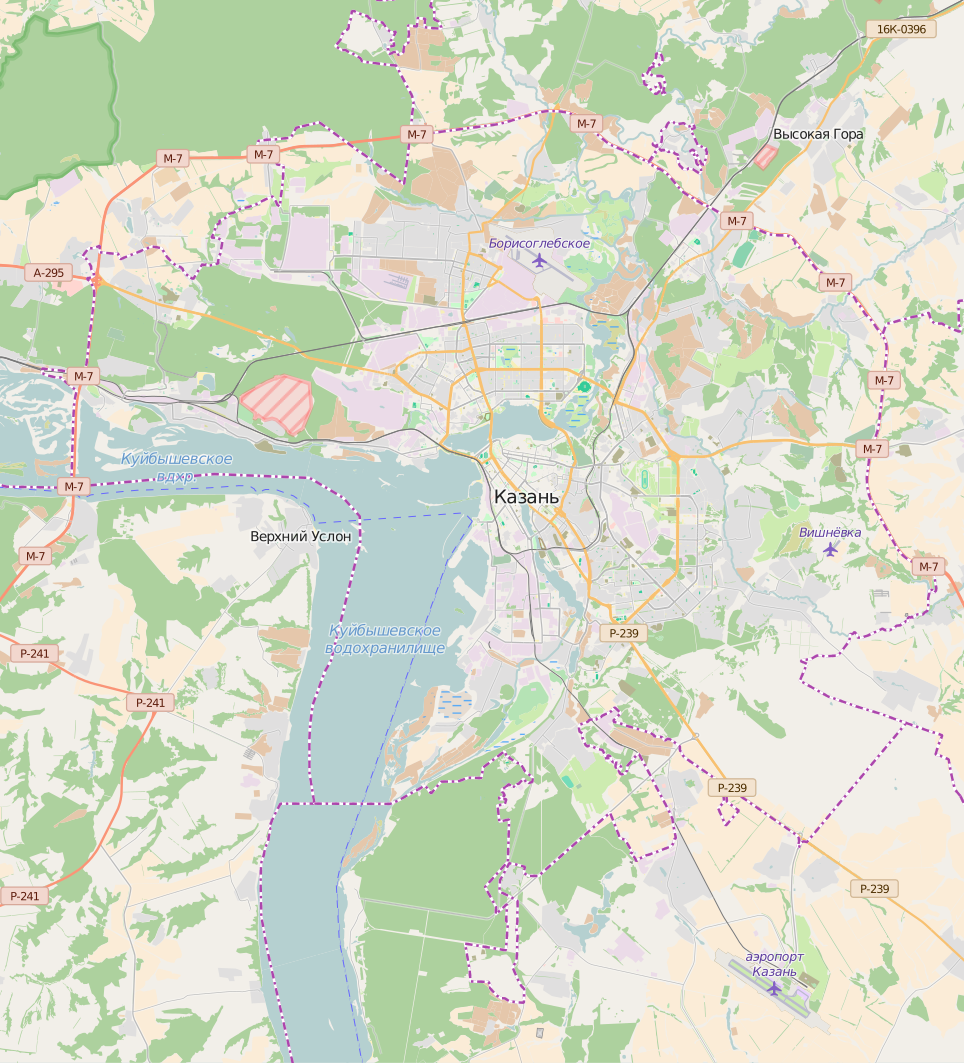
English: Kazan location map
Polski: Mapa lokacyjna Kazania. |
| Date | |
| Source | Own work |
| Author | Smat |
| Description |
Polski: Mapa Kazania, Rosja
English: Map of Kazan, Russia |
|||||||||
| Date | ||||||||||
| Source | You may find a page on the OpenStreetMap wiki page for Kazań | |||||||||
| Creator |
OpenStreetMap contributors OpenStreetMap contributors |
|||||||||
| Permission (Reusing this file) |
OpenStreetMap data is available under the Open Database License (details). Map tiles are licensed under the Creative Commons Attribution-ShareAlike 2.0 license (CC-BY-SA 2.0).
This file is licensed under the Creative Commons Attribution-Share Alike 2.0 Generic license.
|
|||||||||
| Geotemporal data | ||||||||||
| Bounding box |
|
|||||||||
| Georeferencing | If inappropriate please set warp_status = skip to hide. | |||||||||
Licensing[edit]
| This work contains information from OpenStreetMap, which is made available under the Open Database License (ODbL).
The ODbL does not require any particular license for maps produced from ODbL data. Prior to 1 August 2020, map tiles produced by the OpenStreetMap Foundation were licensed under the CC-BY-SA-2.0 license. Maps produced by other people may be subject to other licences. |
File history
Click on a date/time to view the file as it appeared at that time.
| Date/Time | Thumbnail | Dimensions | User | Comment | |
|---|---|---|---|---|---|
| current | 07:59, 23 June 2016 | | 964 × 1,063 (5.99 MB) | Smat (talk | contribs) | User created page with UploadWizard |
You cannot overwrite this file.
File usage on Commons
The following page uses this file:
File usage on other wikis
The following other wikis use this file:
- Usage on bg.wikipedia.org
- Usage on fr.wikipedia.org
- Usage on fy.wikipedia.org
- Himelfeartkleaster op de Zilantovheuvel
- Ferkundigingskatedraal (Kazan)
- Sint-Nikolaaskatedraal (Kazan)
- Hillige Geasttsjerke (Kazan)
- Tsjerke-monumint foar de fallen soldaten by de oermastering fan Kazan (1552)
- Sint-Barbaratsjerke (Kazan)
- Bogoroditski-kleaster (Kazan)
- Paulus- en Petruskatedraal (Kazan)
- Tsjerke fan de ikoan fan de Mem Gods fan Tichvin (Kazan)
- Paraskevatsjerke (Kazan)
- Epifanykatedraal (Kazan)
- Kûl Sjarif-moskee
- Berjocht:Posysjekaart Kazan
- Usage on hu.wikipedia.org
- Usage on ja.wikipedia.org
- Usage on pl.wikipedia.org
- Kazański Uniwersytet Państwowy
- Kazań-Passażyrskaja
- Kreml kazański
- Most Milenijny w Kazaniu
- Meczet Kul Szarif
- Port lotniczy Kazań
- Ziłantowski Monaster Zaśnięcia Matki Bożej
- Eparchia kazańska
- Stadion Centralny w Kazaniu
- Kazań Ariena
- Metropolia tatarstańska
- Sobór Zwiastowania w Kazaniu
- Sobór Objawienia Pańskiego w Kazaniu
- Monaster św. Jana Chrzciciela w Kazaniu
- Moduł:Mapa/dane/Kazań
- Rosyjski Instytut Islamski (Kazań)
- Parafia Podwyższenia Krzyża Świętego w Kazaniu
- Muzeum Narodowe Republiki Tatarstanu
- Wieża Sjujumbike
- Monaster Kazańskiej Ikony Matki Bożej w Kazaniu
- Pałac Sportów Wodnych w Kazaniu
- Dom Szamila
- Stadion Rubin w Kazaniu
View more global usage of this file.