File:Katastrální mapa Plzně.PNG
Jump to navigation
Jump to search

Size of this preview: 647 × 600 pixels. Other resolutions: 259 × 240 pixels | 518 × 480 pixels | 810 × 751 pixels.
Original file (810 × 751 pixels, file size: 47 KB, MIME type: image/png)
Captions
Captions
Add a one-line explanation of what this file represents

|
This locator map image could be re-created using vector graphics as an SVG file. This has several advantages; see Commons:Media for cleanup for more information. If an SVG form of this image is available, please upload it and afterwards replace this template with
{{vector version available|new image name}}.
It is recommended to name the SVG file “Katastrální mapa Plzně.svg”—then the template Vector version available (or Vva) does not need the new image name parameter. |
Summary[edit]
| Description |
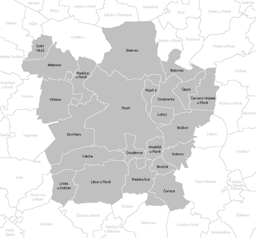
English: Cadastral map of Plzeň
Čeština: Katastrální mapa Plzně |
| Date | |
| Source | Own work |
| Author | Mapového náložník |
Licensing[edit]
| I, the copyright holder of this work, release this work into the public domain. This applies worldwide. In some countries this may not be legally possible; if so: I grant anyone the right to use this work for any purpose, without any conditions, unless such conditions are required by law. |
File history
Click on a date/time to view the file as it appeared at that time.
| Date/Time | Thumbnail | Dimensions | User | Comment | |
|---|---|---|---|---|---|
| current | 17:03, 24 March 2011 | | 810 × 751 (47 KB) | Mapového náložník (talk | contribs) | {{Information |Description ={{en|1=Cadastral map of Plzeň}} {{cs|1=Katastrální mapa Plzně}} |Source ={{own}} |Author =Mapového náložník |Date =23.3.2011 |Permission = |other_versions |
You cannot overwrite this file.
File usage on Commons
The following page uses this file: