File:Karte von Tiefwerder in Berlin.png
Jump to navigation
Jump to search
Size of this preview: 288 × 598 pixels. Other resolutions: 115 × 240 pixels | 231 × 480 pixels | 370 × 768 pixels | 493 × 1,024 pixels | 1,914 × 3,974 pixels.
Original file (1,914 × 3,974 pixels, file size: 2.37 MB, MIME type: image/png)
Captions
Captions
Add a one-line explanation of what this file represents
| Description |
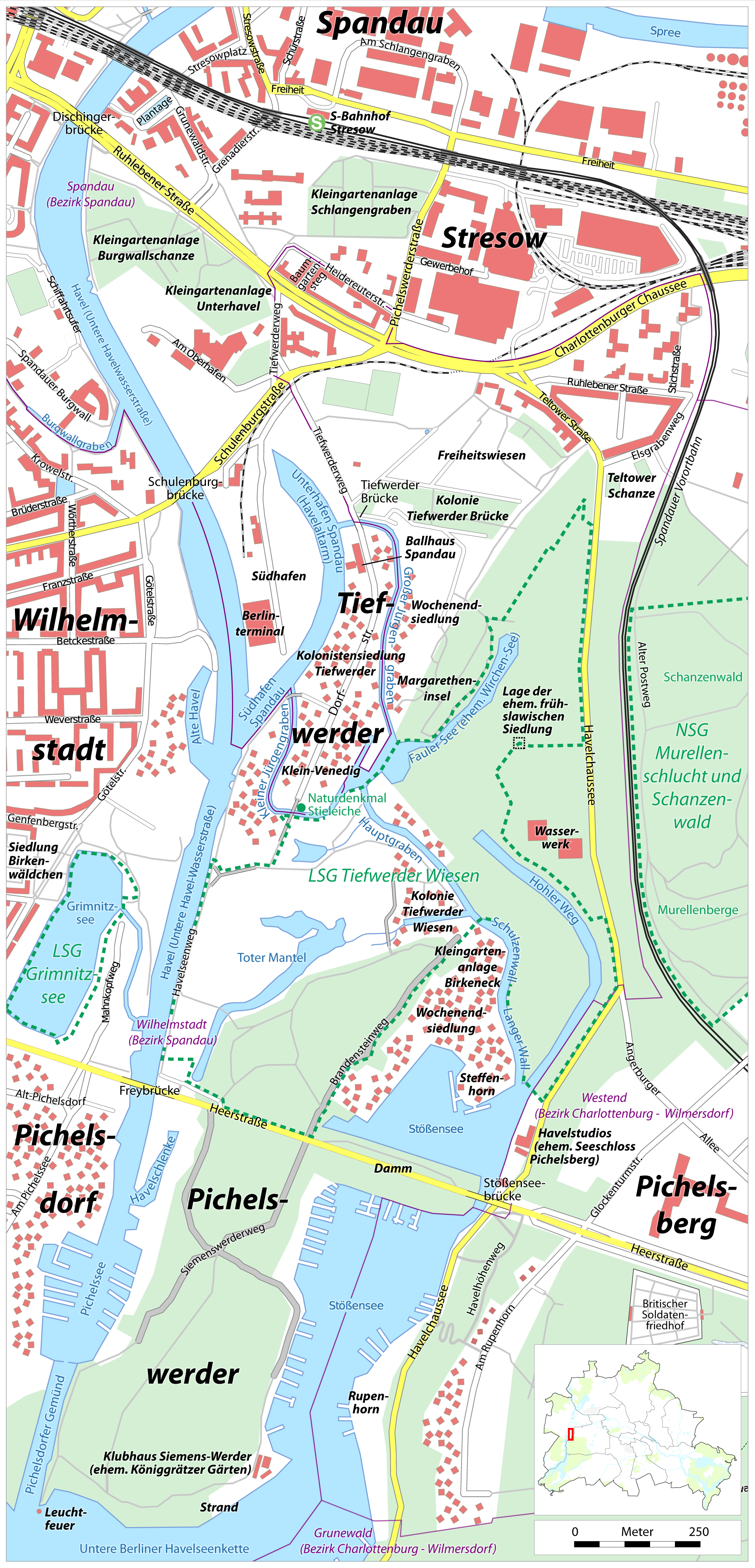
Deutsch: Karte von Tiefwerder in Berlin |
| Date | see file history |
| Source |
Own work, using
|
| Creator | |
| Permission (Reusing this file) |
All OpenStreetMap data and maps are Creative Commons "CC-BY-SA 2.0" licensed This file is licensed under the Creative Commons Attribution-Share Alike 2.0 Generic license.
|
| Georeferencing | If inappropriate please set warp_status = skip to hide. |
File history
Click on a date/time to view the file as it appeared at that time.
| Date/Time | Thumbnail | Dimensions | User | Comment | |
|---|---|---|---|---|---|
| current | 20:20, 25 August 2009 | | 1,914 × 3,974 (2.37 MB) | Chumwa (talk | contribs) | Bullengraben → Burgwallgraben |
| 16:42, 16 August 2009 |  | 1,914 × 3,974 (2.37 MB) | Chumwa (talk | contribs) | Spandauer Vorortbahnbahn → Spandauer Vorortbahn | |
| 08:20, 16 August 2009 |  | 1,914 × 3,974 (2.37 MB) | Chumwa (talk | contribs) | Rumpenhornweg → Rupenhornweg, Havelhöhenweg ergänzt | |
| 04:37, 16 August 2009 |  | 1,914 × 3,974 (2.37 MB) | Chumwa (talk | contribs) | diverse Ergänzungen | |
| 15:13, 14 August 2009 |  | 2,297 × 4,769 (3.08 MB) | Chumwa (talk | contribs) | einen der Pichelsberge entfernt | |
| 12:19, 14 August 2009 |  | 2,297 × 4,769 (3.08 MB) | Chumwa (talk | contribs) | dies und das: Gräben, Ortsteilgrenzen, Beschriftungen, Freistellungen, ... | |
| 20:58, 13 August 2009 |  | 2,297 × 4,769 (2.77 MB) | Chumwa (talk | contribs) | Schriften vergrößert, diverse Ergänzungen | |
| 17:32, 13 August 2009 |  | 2,297 × 4,769 (2.3 MB) | Chumwa (talk | contribs) | diverse Ergänzugen und Beschriftungen | |
| 05:11, 13 August 2009 |  | 2,297 × 4,769 (2.08 MB) | Chumwa (talk | contribs) | {{Information |Description={{de|Karte von Tiefwerder in Berlin}} |Author=Maximilian Dörrbecker (Chumwa) |Source={{own}}, using * OpenStreetMap data for the background |Date=see file history |Permission=All Open |
You cannot overwrite this file.
File usage on Commons
The following 3 pages use this file:
File usage on other wikis
The following other wikis use this file:
- Usage on de.wikipedia.org
- Usage on en.wikipedia.org
- Usage on no.wikipedia.org
- Usage on www.wikidata.org