File:Karte - Flughafen Zürich ZRH.png
Jump to navigation
Jump to search
Size of this preview: 407 × 599 pixels. Other resolutions: 163 × 240 pixels | 326 × 480 pixels | 521 × 768 pixels | 1,211 × 1,783 pixels.
Original file (1,211 × 1,783 pixels, file size: 194 KB, MIME type: image/png)
Captions
Captions
Add a one-line explanation of what this file represents
Summary[edit]
| Description |
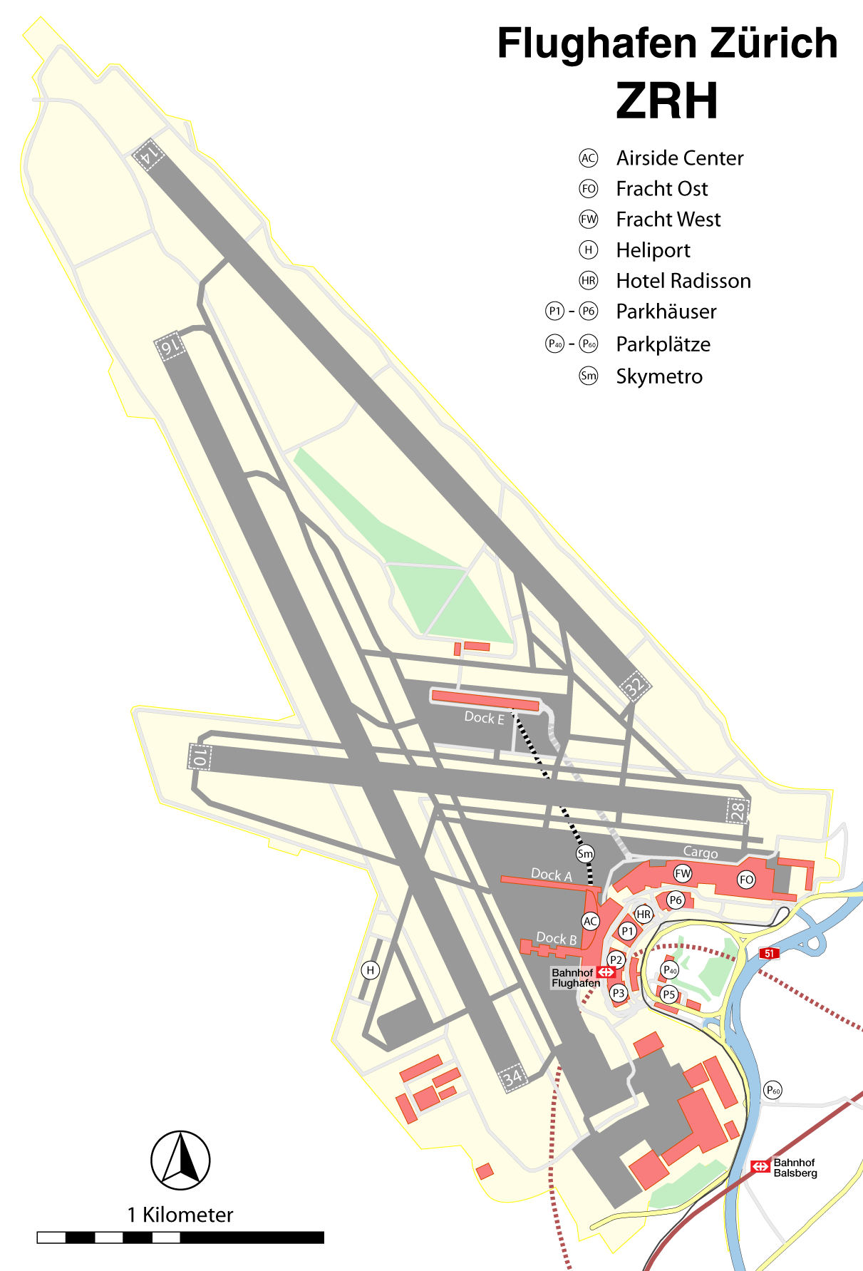
Deutsch: Karte des Flughafen Zürich ZRH
English: Map of Flughafen Zürich ZRH |
||
| Date | |||
| Source |
Self made, using |
||
| Author |
Maximilian Dörrbecker (Chumwa)
|
||
| Permission (Reusing this file) |
I, the copyright holder of this work, hereby publish it under the following license: This file is licensed under the Creative Commons Attribution-Share Alike 2.5 Generic license.
Sie dürfen das Bild zu den folgenden Bedingungen nutzen:
|

File history
Click on a date/time to view the file as it appeared at that time.
| Date/Time | Thumbnail | Dimensions | User | Comment | |
|---|---|---|---|---|---|
| current | 21:51, 31 May 2015 | | 1,211 × 1,783 (194 KB) | Cmdrjameson (talk | contribs) | Compressed with pngout. Reduced by 141kB (42% decrease). |
| 04:50, 18 June 2009 |  | 1,211 × 1,783 (335 KB) | Chumwa (talk | contribs) | Typo | |
| 17:43, 17 June 2009 |  | 1,211 × 1,783 (329 KB) | Chumwa (talk | contribs) | Lage von P60 korrigiert, Symbole vergrößert, höhere Auflösung | |
| 19:06, 15 June 2009 |  | 969 × 1,427 (247 KB) | Chumwa (talk | contribs) | Bearbeitung der Flughafengrenzen vergessen... | |
| 18:59, 15 June 2009 |  | 969 × 1,427 (246 KB) | Chumwa (talk | contribs) | diverse Anmerkungen von Nighttrain eingearbeitet - vielen Dank hierfür! | |
| 05:41, 15 June 2009 |  | 969 × 1,427 (229 KB) | Chumwa (talk | contribs) | Farben getauscht | |
| 18:13, 14 June 2009 |  | 969 × 1,427 (229 KB) | Chumwa (talk | contribs) | Maßstab hinzugefügt | |
| 17:36, 14 June 2009 |  | 969 × 1,427 (227 KB) | Chumwa (talk | contribs) | {{Information |Description= {{ de }} Karte: Flughafen Zürich ZRH |Source=Self made, using * some PDF exports from [http://www.openstreetmap.org/ OpenStreetMap] * [http://www.zrhwiki.ch/wiki/Datei:LSZH_Pistensystem_001.png this map] for the airport bounda |
You cannot overwrite this file.
File usage on Commons
The following 3 pages use this file:
File usage on other wikis
The following other wikis use this file:
- Usage on als.wikipedia.org
- Usage on de.wikipedia.org
- Usage on eo.wikipedia.org
- Usage on fr.wikipedia.org
- Usage on hu.wikipedia.org
- Usage on id.wikipedia.org
- Usage on it.wikipedia.org
- Usage on ja.wikipedia.org
- Usage on lt.wikipedia.org
- Usage on mk.wikipedia.org
- Usage on nl.wikipedia.org
- Usage on no.wikipedia.org
- Usage on pl.wikipedia.org
- Usage on pt.wikipedia.org
- Usage on sr.wikipedia.org
- Usage on tr.wikipedia.org
- Usage on vi.wikipedia.org
- Usage on zh.wikipedia.org