File:Kart Indre Østfold.svg
Jump to navigation
Jump to search

Size of this PNG preview of this SVG file: 458 × 587 pixels. Other resolutions: 187 × 240 pixels | 374 × 480 pixels | 599 × 768 pixels | 799 × 1,024 pixels | 1,598 × 2,048 pixels.
Original file (SVG file, nominally 458 × 587 pixels, file size: 61 KB)
Captions
Captions
Add a one-line explanation of what this file represents

|
This file has been superseded by Indre og Ytre Østfold.svg. It is recommended to use the other file. Please note that deleting superseded images requires consent.
|

|
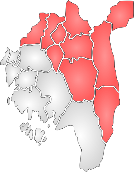
SVG map of Indre Østfold, made in Inkscpe from Image:Østfoldkart.svg by User:Jon Harald Søby.
This W3C-unspecified vector image was created with Inkscape .
| I, the copyright holder of this work, release this work into the public domain. This applies worldwide. In some countries this may not be legally possible; if so: I grant anyone the right to use this work for any purpose, without any conditions, unless such conditions are required by law. |
File history
Click on a date/time to view the file as it appeared at that time.
| Date/Time | Thumbnail | Dimensions | User | Comment | |
|---|---|---|---|---|---|
| current | 15:39, 6 December 2006 | | 458 × 587 (61 KB) | Jon Harald Søby (talk | contribs) | SVG map of Indre Østfold, made in Inkscpe from Image:Østfoldkart.svg by User:Jon Harald Søby. {{Inkscape}} {{PD-self}} Category:Maps of Østfold Category:Østfold |
You cannot overwrite this file.
File usage on Commons
There are no pages that use this file.