File:Kampala District Uganda.png
Jump to navigation
Jump to search

Size of this preview: 528 × 600 pixels. Other resolutions: 211 × 240 pixels | 422 × 480 pixels | 661 × 751 pixels.
Original file (661 × 751 pixels, file size: 31 KB, MIME type: image/png)
Captions
Captions
Add a one-line explanation of what this file represents
| Description |
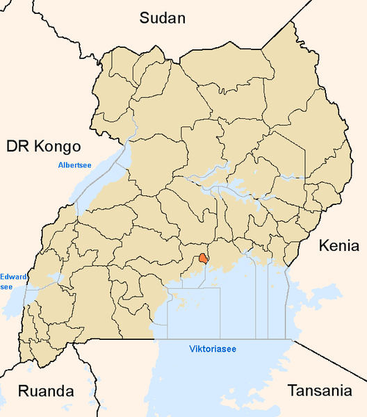
English: Map showing the position of the district Kampala in Uganda.
Deutsch: Karte, die die Position des Distriktes Kampala in Uganda anzeigt.
Plattdüütsch: Koort, de de Positschoon vun’n Distrikt Kampala in Uganda wiest. |
||
| Source | Own work | ||
| Author | |||
| Permission (Reusing this file) |
|
File history
Click on a date/time to view the file as it appeared at that time.
| Date/Time | Thumbnail | Dimensions | User | Comment | |
|---|---|---|---|---|---|
| current | 17:03, 8 June 2005 | | 661 × 751 (31 KB) | Slomox (talk | contribs) | Map showing the position of the district Kampala in Uganda. {{GFDL}} Category:Maps of Ugandan districts |
You cannot overwrite this file.
File usage on Commons
There are no pages that use this file.
File usage on other wikis
The following other wikis use this file:
- Usage on ar.wikipedia.org
- Usage on ceb.wikipedia.org
- Usage on en.wikipedia.org
- Usage on fa.wikipedia.org
- Usage on fi.wikipedia.org
- Usage on fo.wikipedia.org
- Usage on fr.wikinews.org
- Usage on gl.wikipedia.org
- Usage on ha.wikipedia.org
- Usage on ig.wikipedia.org
- Usage on is.wikipedia.org
- Usage on ja.wikipedia.org
- Usage on ko.wikipedia.org
- Usage on mi.wikipedia.org
- Usage on nds.wikipedia.org
- Usage on oc.wikipedia.org
- Usage on pl.wiktionary.org
- Usage on ps.wikipedia.org
- Usage on pt.wikipedia.org
- Usage on qu.wikipedia.org
- Usage on sw.wikipedia.org
- Usage on ts.wikipedia.org
- Usage on ur.wikipedia.org
- Usage on vo.wikipedia.org
- Usage on www.wikidata.org
- Usage on yo.wikipedia.org
- Usage on zh.wikipedia.org
- Usage on zu.wikipedia.org