File:Kamianets-Podilskyi map 1691 (fragment).jpg
Jump to navigation
Jump to search
Size of this preview: 800 × 515 pixels. Other resolutions: 320 × 206 pixels | 640 × 412 pixels | 1,141 × 735 pixels.
Original file (1,141 × 735 pixels, file size: 508 KB, MIME type: image/jpeg)
Captions
Captions
Add a one-line explanation of what this file represents
Summary[edit]
| Description |
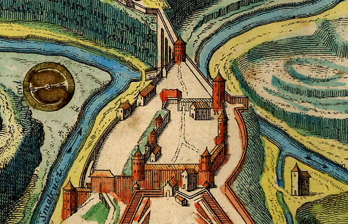
Українська: Стара фортеця на фрагменті французького плану 1691 року після захоплення її турками |
||||||||||||||||||||
| Date | |||||||||||||||||||||
| Source | |||||||||||||||||||||
| Author |
|
||||||||||||||||||||


.jpg&action=edit§ion=1)
Licensing[edit]
.jpg&action=edit§ion=2)
|
This work is in the public domain in its country of origin and other countries and areas where the copyright term is the author's life plus 100 years or fewer. | |
| This file has been identified as being free of known restrictions under copyright law, including all related and neighboring rights. | |
File history
Click on a date/time to view the file as it appeared at that time.
| Date/Time | Thumbnail | Dimensions | User | Comment | |
|---|---|---|---|---|---|
| current | 21:19, 10 August 2019 | | 1,141 × 735 (508 KB) | Rasal Hague (talk | contribs) | User created page with UploadWizard |
You cannot overwrite this file.
File usage on Commons
There are no pages that use this file.
File usage on other wikis
The following other wikis use this file:
- Usage on fr.wikipedia.org
- Usage on uk.wikipedia.org
.jpg&oldid=860264757)