File:Kaikoura Peninsula.jpg
Jump to navigation
Jump to search
Size of this preview: 800 × 533 pixels. Other resolutions: 320 × 213 pixels | 640 × 427 pixels | 1,024 × 683 pixels | 1,280 × 853 pixels | 2,560 × 1,707 pixels | 3,264 × 2,176 pixels.
Original file (3,264 × 2,176 pixels, file size: 5.96 MB, MIME type: image/jpeg)
Captions
Captions
Add a one-line explanation of what this file represents
Summary[edit]
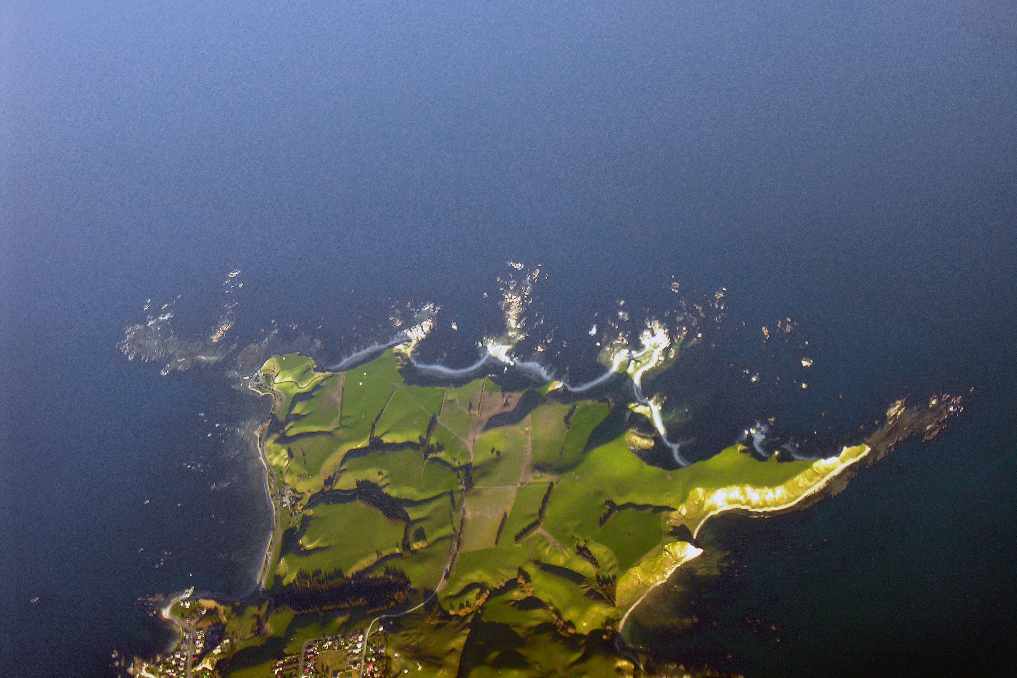
| Description | Kaikoura Peninsula. En route Christchurch to Wellington |
| Date | |
| Source | Kaikoura Peninsula, New Zealand from 25,000 feet, 2 September 2005 |
| Author | Phillip Capper from Wellington, New Zealand |
| Camera location | | View this and other nearby images on: OpenStreetMap |
|---|
Licensing[edit]
This file is licensed under the Creative Commons Attribution 2.0 Generic license.
- You are free:
- to share – to copy, distribute and transmit the work
- to remix – to adapt the work
- Under the following conditions:
- attribution – You must give appropriate credit, provide a link to the license, and indicate if changes were made. You may do so in any reasonable manner, but not in any way that suggests the licensor endorses you or your use.
| This image, originally posted to Flickr, was reviewed on 19:45, 19 December 2007 (UTC) by the administrator or reviewer Arria Belli, who confirmed that it was available on Flickr under the stated license on that date. |
File history
Click on a date/time to view the file as it appeared at that time.
| Date/Time | Thumbnail | Dimensions | User | Comment | |
|---|---|---|---|---|---|
| current | 19:45, 19 December 2007 | | 3,264 × 2,176 (5.96 MB) | Arria Belli (talk | contribs) | == Summary == {{Information |Description= Kaikoura Peninsula. En route Christchurch to Wellington |Source=[http://www.flickr.com/photos/42033648@N00/39737987/ Kaikoura Peninsula, New Zealand from 25,000 feet, 2 September 2005] |Date=September 02, 2005 at |
You cannot overwrite this file.
File usage on Commons
There are no pages that use this file.
File usage on other wikis
The following other wikis use this file:
- Usage on ceb.wikipedia.org
- Usage on en.wikipedia.org
- Usage on eo.wikipedia.org
- Usage on fr.wikipedia.org
- Usage on nl.wikipedia.org
- Usage on nn.wikipedia.org
- Usage on no.wikipedia.org
- Usage on ru.wikipedia.org
- Usage on www.wikidata.org