File:KG-Ysyk-Kol-Jeti-Oguz.svg
Jump to navigation
Jump to search

Size of this PNG preview of this SVG file: 576 × 600 pixels. Other resolutions: 230 × 240 pixels | 461 × 480 pixels | 738 × 768 pixels | 983 × 1,024 pixels | 1,967 × 2,048 pixels | 848 × 883 pixels.
Original file (SVG file, nominally 848 × 883 pixels, file size: 2.35 MB)
Captions
Captions
KG-Ysyk-Kol-Jeti-Oguz
Summary[edit]
| Description |
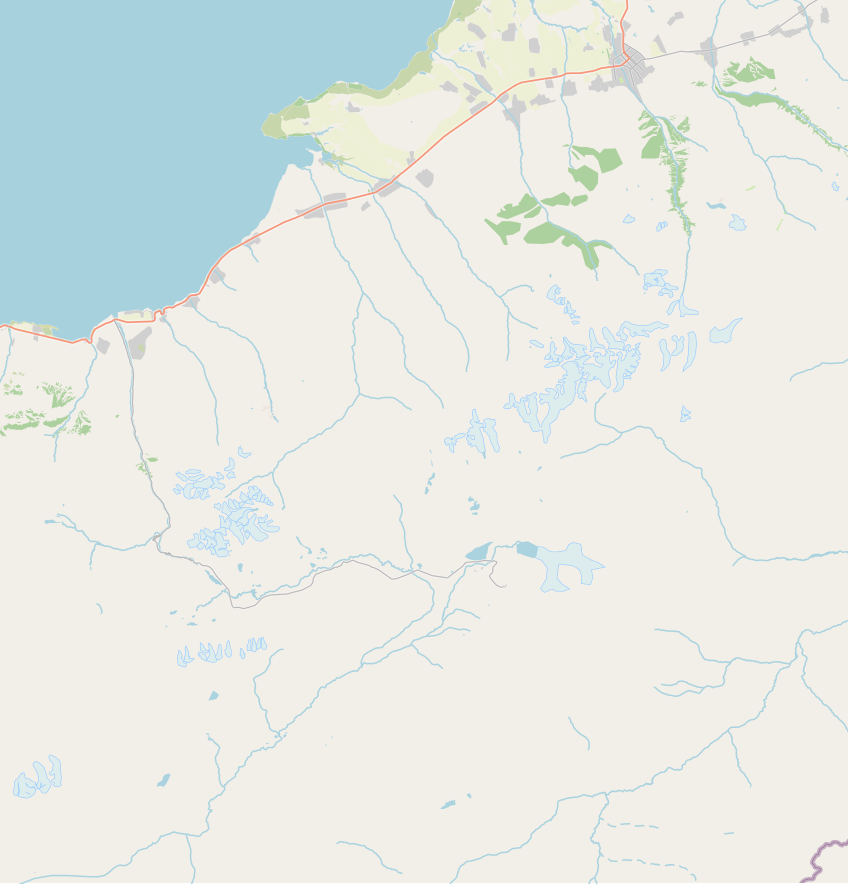
English: KG-Ysyk-Kol-Jeti-Oguz |
| Date | |
| Source | openstreetmap.org |
| Author | OpenStreetMap contributors |
Licensing[edit]
| Description |
This map was created from OpenStreetMap project data, collected by the community. This map may be incomplete, and may contain errors. Don't rely solely on it for navigation. |
|||
| Date | (see file history) | |||
| Source | openstreetmap.org | |||
| Creator |
OpenStreetMap contributors |
|||
| Permission (Reusing this file) |
OpenStreetMap data is available under the Open Database License (details). Map tiles are licensed under the Creative Commons Attribution-ShareAlike 2.0 license (CC-BY-SA 2.0).
This file is licensed under the Creative Commons Attribution-Share Alike 2.0 Generic license.
|
|||
| Georeferencing | If inappropriate please set warp_status = skip to hide. |
File history
Click on a date/time to view the file as it appeared at that time.
| Date/Time | Thumbnail | Dimensions | User | Comment | |
|---|---|---|---|---|---|
| current | 21:24, 12 October 2021 | | 848 × 883 (2.35 MB) | Kmaksat (talk | contribs) | Karakol village of Barskon aiyl omotu is added. |
| 19:15, 10 October 2021 |  | 814 × 889 (2.36 MB) | Kmaksat (talk | contribs) | Uploaded a work by OpenStreetMap contributors from openstreetmap.org with UploadWizard |
You cannot overwrite this file.
File usage on Commons
There are no pages that use this file.
File usage on other wikis
The following other wikis use this file:
- Usage on en.wikipedia.org
- Usage on fr.wikipedia.org
- Usage on ky.wikipedia.org
- Usage on ru.wikipedia.org
- Джети-Огузский район
- Кызыл-Суу (Иссык-Кульская область)
- Ак-Терек
- Мундуз (Иссык-Кульская область)
- Ак-Дёбё (Иссык-Кульская область)
- Ан-Остен
- Тилекмат
- Ак-Шыйрак
- Барскоон
- Каракол (Джети-Огузский район)
- Даркан
- Джениш
- Кичи-Джаргылчак
- Чон-Джаргылчак
- Джети-Огуз (село)
- Джети-Огуз (курорт)
- Ак-Кочкор
- Джеле-Дёбё
- Кабак (Иссык-Кульская область)
- Талды-Булак (Иссык-Кульская область)
- Чырак
- Джон-Булак
- Кытай
- Конкино
- Ырдык
- Балтабай (Иссык-Кульская область)
- Богатыровка (Иссык-Кульская область)
- Зелёный Гай (Иссык-Кульская область)
- Ичке-Булун
- Липенка (Кыргызстан)
- Боз-Бешик
- Кургак-Айрык
- Оргочор
- Жалгыз-Орюк
- Покровская Пристань
- Кайнар (Иссык-Кульская область)
- Джууку
- Иссык-Кель (Джети-Огузский район)
- Саруу (село)
- Чон-Кызыл-Суу
- Светлая Поляна (Иссык-Кульская область)
- Тамга (Иссык-Кульская область)
- Тосор
- Шаблон:ПозКарта Кыргызстан Иссык-Кульская область Джети-Огузский район
View more global usage of this file.