File:KG-CHU-Sokuluk N.svg
Jump to navigation
Jump to search

Size of this PNG preview of this SVG file: 335 × 553 pixels. Other resolutions: 145 × 240 pixels | 291 × 480 pixels | 465 × 768 pixels | 620 × 1,024 pixels | 1,240 × 2,048 pixels.
Original file (SVG file, nominally 335 × 553 pixels, file size: 3.18 MB)
Captions
Captions
Add a one-line explanation of what this file represents
Summary[edit]
| Description |
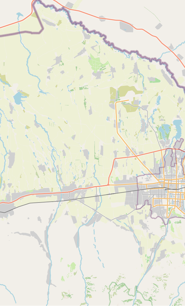
Русский: Карта, Сокулук, Чуй, север |
| Date | |
| Source | OpenStreetMap data |
| Author | OpenStreetMap contributors |
Licensing[edit]
| Description |
This map was created from OpenStreetMap project data, collected by the community. This map may be incomplete, and may contain errors. Don't rely solely on it for navigation. |
|||
| Date | (see file history) | |||
| Source | openstreetmap.org | |||
| Creator |
OpenStreetMap contributors |
|||
| Permission (Reusing this file) |
OpenStreetMap data is available under the Open Database License (details). Map tiles are licensed under the Creative Commons Attribution-ShareAlike 2.0 license (CC-BY-SA 2.0).
This file is licensed under the Creative Commons Attribution-Share Alike 2.0 Generic license.
|
|||
| Georeferencing | If inappropriate please set warp_status = skip to hide. |
File history
Click on a date/time to view the file as it appeared at that time.
| Date/Time | Thumbnail | Dimensions | User | Comment | |
|---|---|---|---|---|---|
| current | 03:08, 16 February 2021 | | 335 × 553 (3.18 MB) | Kmaksat (talk | contribs) | wider, some eastern part of Sokuluk district was added |
| 07:15, 15 February 2021 |  | 285 × 550 (2.23 MB) | Kmaksat (talk | contribs) | Uploaded a work by OpenStreetMap contributors from OpenStreetMap data with UploadWizard |
You cannot overwrite this file.
File usage on Commons
The following page uses this file:
- File:KG-CHU-Sokuluk.png (file redirect)
File usage on other wikis
The following other wikis use this file:
- Usage on en.wikipedia.org
- Usage on ky.wikipedia.org
- Usage on ru.wikipedia.org
- Сокулукский район
- Военно-Антоновка
- Гавриловка (Чуйская область)
- Романовка (Чуйская область)
- Джангарач
- Учкун (Чуйская область)
- Джал (Чуйская область)
- Кашка-Баш
- Верхний Орок
- Сарбан
- Селекционное (Чуйская область)
- Камышановка
- Нижнечуйское
- Садовое (Сокулукский район)
- Мирное (Чуйская область)
- Талтак
- Кызыл-Туу (Сокулукский район)
- Кара-Сакал
- Новое (Чуйская область)
- Токбай
- Маловодное (Сокулукский район)
- Заря (Сокулукский район)
- Чат-Кель
- Тюз (село)
- Кунтуу
- Шаблон:ПозКарта Кыргызстан Чуйская область Сокулукский район
- Шаблон:ПозКарта Кыргызстан Чуйская область Сокулукский район Север
- Тош-Булак (Чуйская область)
- Usage on si.wikipedia.org