File:Juthungi271.png
Jump to navigation
Jump to search

Size of this preview: 800 × 552 pixels. Other resolutions: 320 × 221 pixels | 640 × 442 pixels | 942 × 650 pixels.
Original file (942 × 650 pixels, file size: 328 KB, MIME type: image/png)
Captions
Captions
Add a one-line explanation of what this file represents
Summary[edit]
| Description |
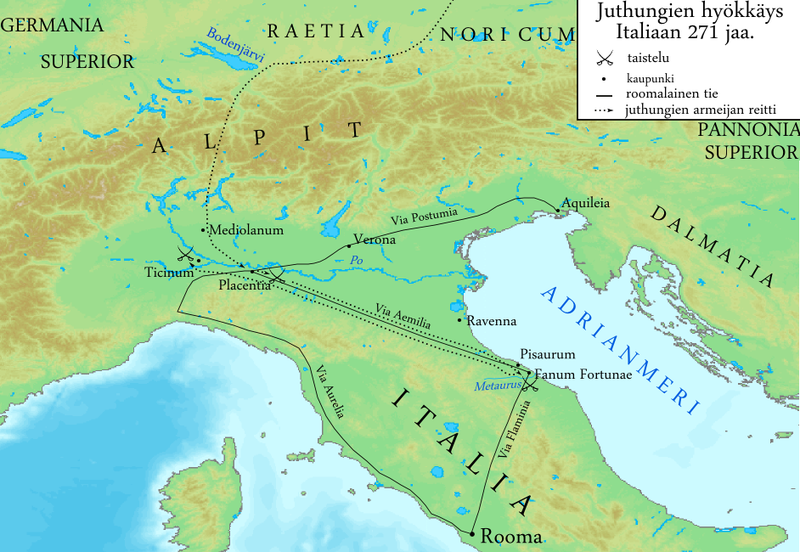
English: Map of invasion route of Juthungi AD 271.
Suomi: Germaaniheimo juthungien hyökkäys Italiaan 271 jaa. |
||||
| Date | |||||
| Source | Map is based on map from Alaric Watson's book "Aurelian and the Third Century" map 2, page xviii. (ISBN 0-415-07248-4) Base is cropped from http://www2.demis.nl/mapserver/mapper.asp wich is in public domain. Edited by Inkscape and Paint.NET | ||||
| Author | Original:Demis project Current version:User:Barosaurus Lentus | ||||
| Permission (Reusing this file) |
|
Licensing[edit]

|
Permission is granted to copy, distribute and/or modify this document under the terms of the GNU Free Documentation License, Version 1.2 or any later version published by the Free Software Foundation; with no Invariant Sections, no Front-Cover Texts, and no Back-Cover Texts. A copy of the license is included in the section entitled GNU Free Documentation License. |
| This file is licensed under the Creative Commons Attribution-Share Alike 3.0 Unported license. | ||
| ||
| This licensing tag was added to this file as part of the GFDL licensing update. |
File history
Click on a date/time to view the file as it appeared at that time.
| Date/Time | Thumbnail | Dimensions | User | Comment | |
|---|---|---|---|---|---|
| current | 10:00, 20 January 2009 | | 942 × 650 (328 KB) | Barosaurus Lentus (talk | contribs) | {{Information |Description={{en|1=Map of invasion route of Juthungi AD 271.}} {{fi|1=Germaaniheimo juthungien hyökkäys Italiaan 271 jaa.}} |Source=Map is based on map from Alaric Watson's book "Aurelian and the Third Century" map 2, page xviii. (ISBN 0- |
You cannot overwrite this file.
File usage on Commons
There are no pages that use this file.
File usage on other wikis
The following other wikis use this file:
- Usage on es.wikipedia.org
- Usage on fi.wikipedia.org
- Usage on it.wikipedia.org
- Usage on ru.wikipedia.org