File:Junction with Autoroute 20, 30, and the way to Ontario Highway 401, 3 km, Autoroute 40, Vaudreuil-Soulanges, Quebec (30067276655).jpg

Original file (4,000 × 1,963 pixels, file size: 4.18 MB, MIME type: image/jpeg)
Captions
Captions
Summary[edit]
.jpg&action=edit§ion=1)
| Description |
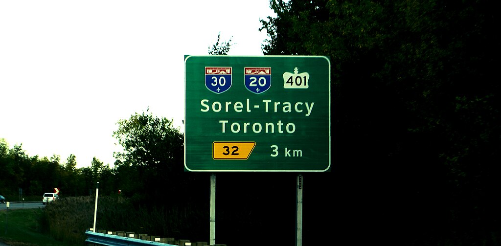
Autoroute 30 (A-30), or the Autoroute de l'Acier (In English, Steel Freeway) is an Autoroute in Quebec, Canada. Construction of the A-30 dates back to the early days of autoroute construction in the 1960s. Originally called Highway 3, the A-30 was designed to replace Route 132 as the main artery linking the communities along the South Shore of the St. Lawrence River. The A-30 was originally intended to begin at the U.S. border at Dundee and end at Saint-Pierre-les-Becquets (in Centre-du-Québec). In the late 1970s an eight-year moratorium on new autoroute construction (in favour of public transport) by the Parti Québécois prevented implementation of this plan. The original section of Autoroute 30 in 1968 linked Sorel-Tracy to Route 116, then called Highway 9.. The A-30 was extended to an interchange with Autoroute 10 in Brossard by 1985 and to Autoroute 15 in Candiac by 1996. Growing road congestion in and around Montreal led to the announcement in 2006 of a federal-provincial partnership to complete A-30 as southwestern bypass ring road. At that time, the section from Châteauguay to Vaudreuil-Dorion was to be tolled, however by 2009 it was decided to collect tolls only on the St. Lawrence bridge. A-30 was extended north of the St. Lawrence River (over a new crossing) to a realigned interchange with Autoroute 20 and Autoroute 540 in Vaudreuil-Dorion, afterward A-540 was annexed and renamed as an extension of A-30. As construction progressed, short sections of the original A-30 that are bypassed by the new route were converted to spur routes and assigned new route numbers; for instance the old alignment of A-30 south of Salaberry-de-Valleyfield was renamed Autoroute 530. Opened to traffic on December 15, 2012, the realigned Autoroute 30 permits motorists travelling the Quebec City–Windsor Corridor to bypass Montreal. <a href="https://en.wikipedia.org/wiki/Quebec_Autoroute_30" rel="nofollow">en.wikipedia.org/wiki/Quebec_Autoroute_30</a> <a href="https://en.wikipedia.org/wiki/Wikipedia:Text_of_Creative_Commons_Attribution-ShareAlike_3.0_Unported_License" rel="nofollow">en.wikipedia.org/wiki/Wikipedia:Text_of_Creative_Commons_...</a> |
| Date | |
| Source | Junction with Autoroute 20, 30, and the way to Ontario Highway 401, 3 km, Autoroute 40, Vaudreuil-Soulanges, Quebec |
| Author | Ken Lund from Reno, Nevada, USA |
| Camera location | | View this and other nearby images on: OpenStreetMap |
|---|
.jpg¶ms=045.424905_N_-074.090831_E_globe:Earth_type:camera_source:Flickr_&language=en)
Licensing[edit]
.jpg&action=edit§ion=2)
- You are free:
- to share – to copy, distribute and transmit the work
- to remix – to adapt the work
- Under the following conditions:
- attribution – You must give appropriate credit, provide a link to the license, and indicate if changes were made. You may do so in any reasonable manner, but not in any way that suggests the licensor endorses you or your use.
- share alike – If you remix, transform, or build upon the material, you must distribute your contributions under the same or compatible license as the original.
| This image was originally posted to Flickr by Ken Lund at https://flickr.com/photos/75683070@N00/30067276655. It was reviewed on 20 March 2024 by FlickreviewR 2 and was confirmed to be licensed under the terms of the cc-by-sa-2.0. |
File history
Click on a date/time to view the file as it appeared at that time.
| Date/Time | Thumbnail | Dimensions | User | Comment | |
|---|---|---|---|---|---|
| current | 22:09, 20 March 2024 | | 4,000 × 1,963 (4.18 MB) | Fabe56 (talk | contribs) | Transferred from Flickr via #flickr2commons |
You cannot overwrite this file.
File usage on Commons
There are no pages that use this file.
.jpg&oldid=862610945)