File:JFK Airport - USGS 8 April 1994.jpg
Jump to navigation
Jump to search
Size of this preview: 784 × 600 pixels. Other resolutions: 314 × 240 pixels | 628 × 480 pixels | 1,004 × 768 pixels | 1,280 × 979 pixels | 1,700 × 1,300 pixels.
Original file (1,700 × 1,300 pixels, file size: 435 KB, MIME type: image/jpeg)
Captions
Captions
Add a one-line explanation of what this file represents
Summary[edit]
| Description |
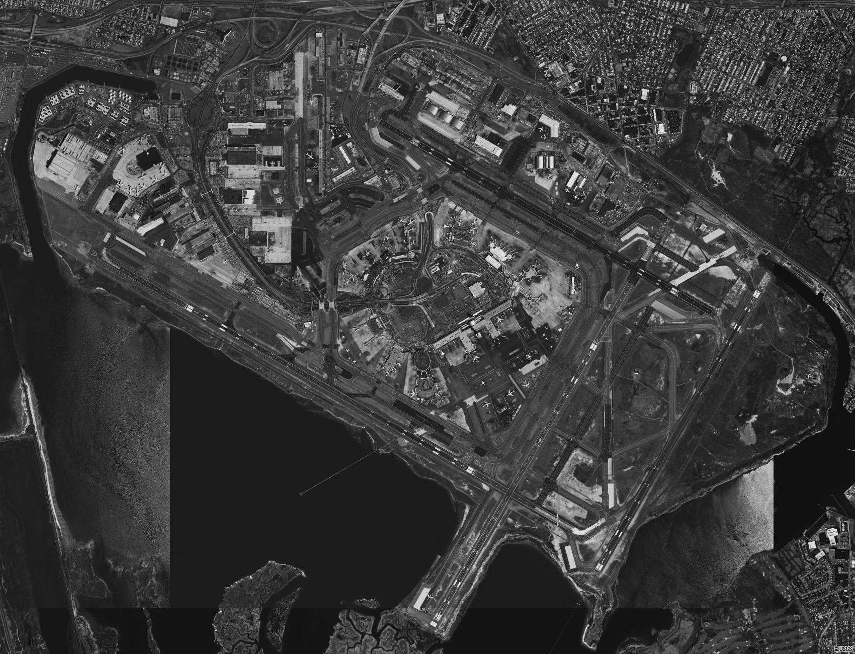
English: Aerial image of John F. Kennedy International Airport in Queens, New York, United States. |
| Date | |
| Source | USGS digital orthophoto via MSR Maps (formerly TerraServer-USA) |
| Author | United States Geological Survey (USGS) |
| Permission (Reusing this file) |
Public domain |
| Object location | | View this and other nearby images on: OpenStreetMap |
|---|
Licensing[edit]
This image is in the public domain in the United States because it only contains materials that originally came from the United States Geological Survey, an agency of the United States Department of the Interior. For more information, see the official USGS copyright policy.
|
File history
Click on a date/time to view the file as it appeared at that time.
| Date/Time | Thumbnail | Dimensions | User | Comment | |
|---|---|---|---|---|---|
| current | 14:01, 18 September 2009 | | 1,700 × 1,300 (435 KB) | Zyxw (talk | contribs) | {{Information | description = {{en|Aerial image of {{w|John F. Kennedy International Airport}} in Queens, New York, United States.}} | date = 1994-04-08 | source = USGS digital {{w|orthophoto}} via [http://terraserver-usa.com/map.aspx?t=1&s=12&lon=-73.786 |
You cannot overwrite this file.
File usage on Commons
The following page uses this file:
File usage on other wikis
The following other wikis use this file:
- Usage on cy.wikipedia.org
- Usage on en.wikinews.org
- Usage on es.wikipedia.org
- Usage on ru.wikipedia.org
- Usage on zh-yue.wikipedia.org