File:Israel districts numbered.png
Jump to navigation
Jump to search

Size of this preview: 223 × 599 pixels. Other resolution: 304 × 816 pixels.
Original file (304 × 816 pixels, file size: 37 KB, MIME type: image/png)
Captions
Captions
Add a one-line explanation of what this file represents
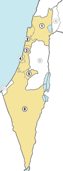
| Description | Israel districts numbered | ||
| Date | |||
| Source | Own work | ||
| Author | arz | ||
| Permission (Reusing this file) |
|
||
| Other versions |
|
File history
Click on a date/time to view the file as it appeared at that time.
| Date/Time | Thumbnail | Dimensions | User | Comment | |
|---|---|---|---|---|---|
| current | 02:20, 3 December 2010 | 304 × 816 (37 KB) | Bambuway (talk | contribs) | Distinct colours | |
| 23:10, 17 October 2010 | 304 × 816 (37 KB) | Bambuway (talk | contribs) | Coloured the sea | ||
| 21:33, 17 October 2010 | 304 × 816 (36 KB) | Bambuway (talk | contribs) | UNIFIL is not an Israeli district | ||
| 07:36, 28 March 2007 | 304 × 816 (54 KB) | Arz (talk | contribs) | {{Information |Description=Israel districts numbered |Source=own work |Date=March 28, 2007 |Author=arz |Permission={{PD-self}} |other_versions=50px SVG }} Category:Maps of Israel |
You cannot overwrite this file.
File usage on Commons
The following 10 pages use this file:
.png)
File usage on other wikis
The following other wikis use this file:
- Usage on ady.wikipedia.org
- Usage on an.wikipedia.org
- Usage on ar.wikipedia.org
- Usage on arz.wikipedia.org
- Usage on ast.wikipedia.org
- Usage on be-tarask.wikipedia.org
- Usage on bg.wikipedia.org
- Usage on ce.wikipedia.org
- Usage on cs.wikipedia.org
- Usage on da.wikipedia.org
- Usage on en.wikipedia.org
- Usage on fo.wikipedia.org
- Usage on hy.wikipedia.org
- Usage on id.wikipedia.org
- Usage on it.wikipedia.org
- Usage on kbd.wikipedia.org
- Usage on no.wikipedia.org
- Usage on pl.wikipedia.org
- Usage on pt.wikipedia.org
- Usage on ro.wikipedia.org
- Usage on sk.wikipedia.org
- Usage on uk.wikipedia.org
- Usage on uz.wikipedia.org