File:Israel-Flagmap.svg
Jump to navigation
Jump to search

Size of this PNG preview of this SVG file: 214 × 598 pixels. Other resolutions: 86 × 240 pixels | 171 × 480 pixels | 274 × 768 pixels | 366 × 1,024 pixels | 732 × 2,048 pixels | 383 × 1,071 pixels.
Original file (SVG file, nominally 383 × 1,071 pixels, file size: 142 KB)
Captions
Captions
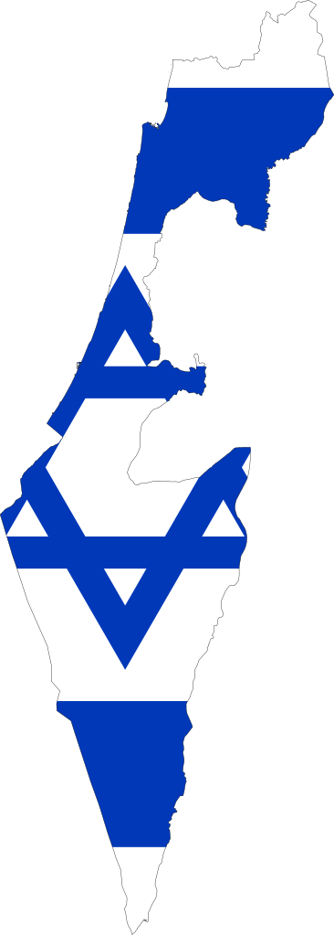
Flag map of Israel
Summary[edit]
| Description |
English: Flag-map of Israel |
| Date | |
| Source | Own work |
| Author | Kamran.nef |
Licensing[edit]
I, the copyright holder of this work, hereby publish it under the following license:
This file is licensed under the Creative Commons Attribution-Share Alike 4.0 International license.
- You are free:
- to share – to copy, distribute and transmit the work
- to remix – to adapt the work
- Under the following conditions:
- attribution – You must give appropriate credit, provide a link to the license, and indicate if changes were made. You may do so in any reasonable manner, but not in any way that suggests the licensor endorses you or your use.
- share alike – If you remix, transform, or build upon the material, you must distribute your contributions under the same or compatible license as the original.
File history
Click on a date/time to view the file as it appeared at that time.
| Date/Time | Thumbnail | Dimensions | User | Comment | |
|---|---|---|---|---|---|
| current | 13:44, 20 October 2020 | 383 × 1,071 (142 KB) | Kamran.nef (talk | contribs) | Uploaded own work with UploadWizard |
You cannot overwrite this file.
File usage on Commons
The following 4 pages use this file:
File usage on other wikis
The following other wikis use this file:
- Usage on ko.wikipedia.org
- Usage on tr.wikipedia.org
- Usage on uk.wikipedia.org
- Тиверіадське озеро
- Акко (місто)
- Західний берег річки Йордан
- Назарет
- Юдея
- Самарія
- Хайфа
- Беер-Шева
- Ейлат
- Хадера
- Рішон-ле-Ціон
- Ашдод
- Петах-Тіква
- Бейт-Шеан
- Нетанья
- Холон
- Бней-Брак
- Шаблон:Israel-geo-stub
- Рош-га-Нікра
- Ханаан
- Їзреельська долина
- Території, окуповані Ізраїлем
- Йордан
- Бат-Ям
- Рамат-Ган
- Реховот
- Модіїн
- Герцлія
- Гіватаїм
- Афула
- Наблус
- Ноф-га-Галіль
- Кфар-Сава
- Карміель
- Нагарія
- Хайфа (затока)
- Рош-га-Нікра (кібуц)
- Зіхрон-Яков
- Бейт-Шемеш
- Крайот
- Хеврон (гора)
- Ештаоль (ліс)
- Національний парк Ейн-Геді
- Гермон (гора)
- Рош-га-Аїн
View more global usage of this file.