File:Iran Pakistan Locator.svg
Jump to navigation
Jump to search

Size of this PNG preview of this SVG file: 175 × 126 pixels. Other resolutions: 320 × 230 pixels | 640 × 461 pixels | 1,024 × 737 pixels | 1,280 × 922 pixels | 2,560 × 1,843 pixels.
Original file (SVG file, nominally 175 × 126 pixels, file size: 1.37 MB)
Captions
Captions
Add a one-line explanation of what this file represents
Summary
[edit]
| Description |
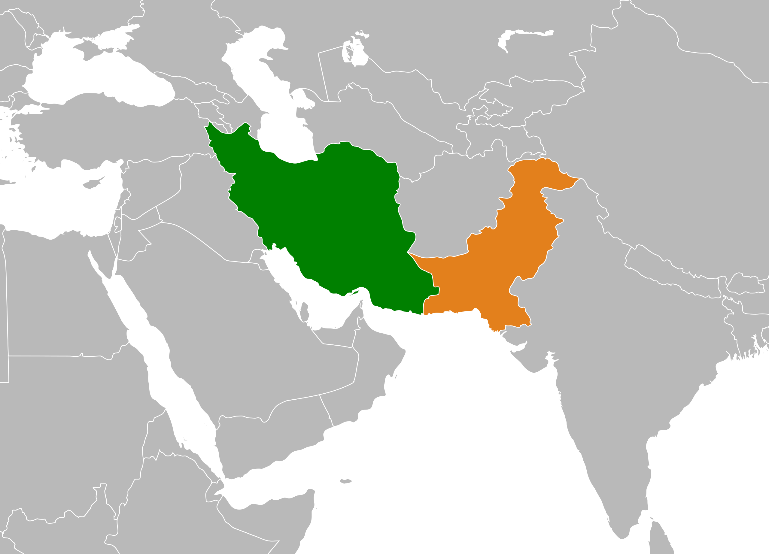
English: Map depicting the location of Pakistan and Iran. |
||
| Date | |||
| Source | Pakistan Myanmar Locator.svg | ||
| Author | Hogweard | ||
| Permission (Reusing this file) |
|
||
| Other versions | Iran Pakistan Locator.png |
File history
Click on a date/time to view the file as it appeared at that time.
| Date/Time | Thumbnail | Dimensions | User | Comment | |
|---|---|---|---|---|---|
| current | 16:28, 2 January 2022 | | 175 × 126 (1.37 MB) | Hogweard (talk | contribs) | == {{int:filedesc}} == {{Information |Description={{en|1=Map depicting the location of Pakistan and Iran.}} |Source={{f|Pakistan Myanmar Locator.svg}} |Author={{u|Hogweard}} |Date=2022-01-02 |Permission={{PD-self}} |other_versions={{f|Iran Pakistan Locator.png}} }} Category:Bilateral maps of Iran Category:Bilateral maps of Pakistan |
You cannot overwrite this file.
File usage on Commons
There are no pages that use this file.
File usage on other wikis
The following other wikis use this file:
- Usage on az.wikipedia.org
- Usage on de.wikipedia.org
- Usage on en.wikipedia.org
- Usage on es.wikipedia.org
- Usage on fa.wikipedia.org
- Usage on he.wikipedia.org
- Usage on hy.wikipedia.org
- Usage on id.wikipedia.org
- Usage on incubator.wikimedia.org
- Usage on simple.wikipedia.org
- Usage on uz.wikipedia.org
- Usage on zh.wikipedia.org