File:Interferentziak - Flickr - Garuna bor-bor.jpg

Original file (3,637 × 2,433 pixels, file size: 6.07 MB, MIME type: image/jpeg)
Captions
Captions
Summary[edit]
| Description |
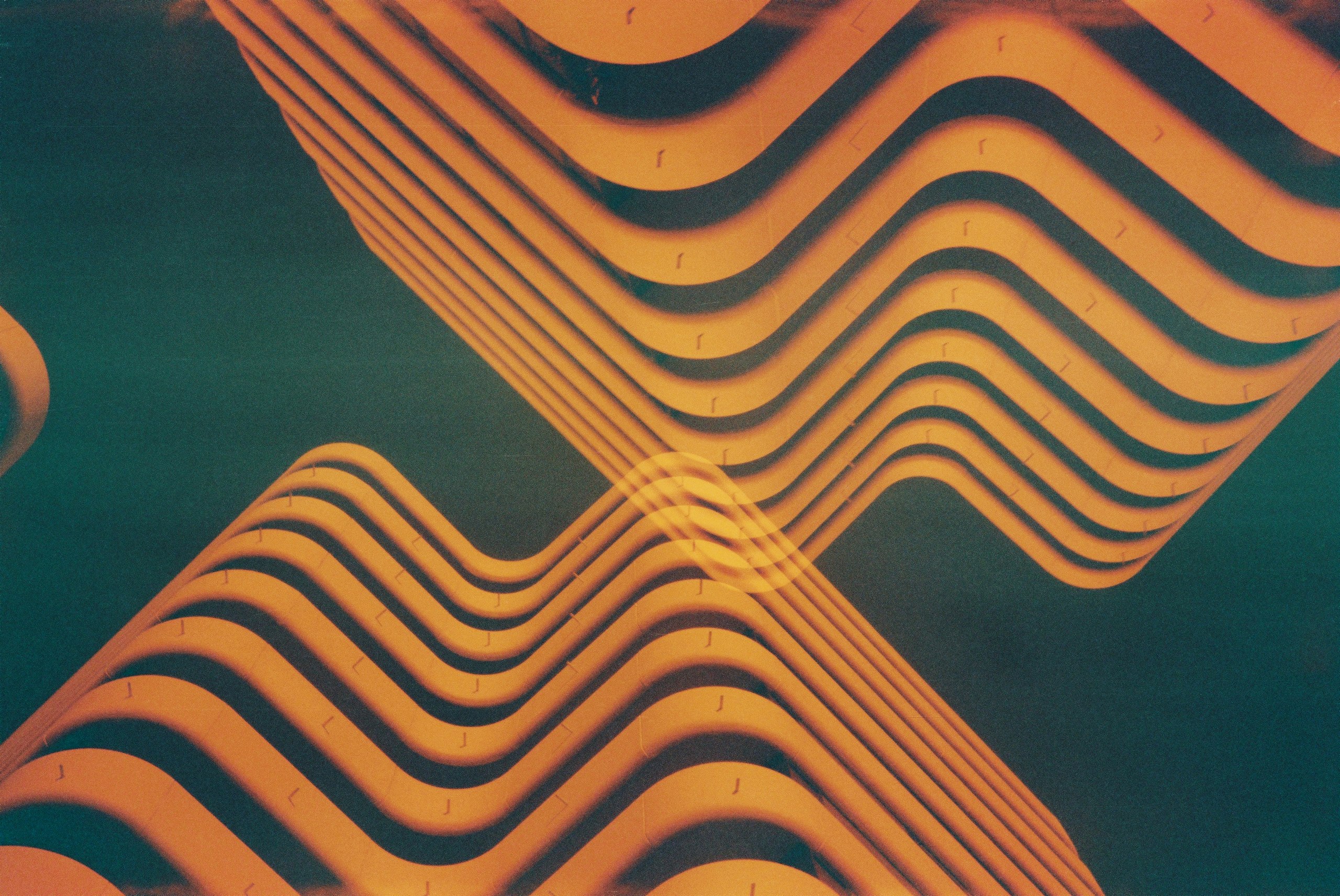
Quel que soit l’événement, la distance est abolie et l’information nous parvient par le même filtre, or ce dernier n’est pas neutre. L’inertie de la réception audiovisuelle, c’est la délégation de notre regard à une “machine de vision” qui dispose à volonté de notre quiétude, comme de nos interprétations. Ainsi, en matière d’urbanisme, on assiste à la fin de la trame viaire, c’est-à-dire du contact direct avec le sol, la rue, la place publique, au profit d’une perception “télé-objective”, survolée et lointaine : celle de l’hélicoptère ou des voitures qui passent sur le périphérique. Nous ne percevons plus qu’à distance, autrement dit de haut et de loin, et les différents pouvoirs jouent sur cette distanciation pour dissuader les gens de toute analyse personnelle ou objective, afin que chacun reste chez soi. Banlieues en crise: La grippe viaire (Paul Virilio en Urbanisme. No. 347, 2006, p. 4) — Смена 8M + Kodak MAX Versatility 400 (expired 09/2006) / DIY Redscale + Double exposure |
| Date | Taken on 26 October 2011, 08:46 |
| Source | Interferentziak |
| Author | Alejo from Euskal Herria |
| Flickr tags | résidence, le centre, mériadeck, bordele, bordèu, bordeaux, burdeos, gironda, gironde, occitània, óucitanìo, okzitania, occitanie, òc, etxebizitza, apartamentu, eraikin, immeuble, appartement, bâtiment, edificio, apartamento, apartment, building, etxaurre, fatxada, façade, fachada, bero, chaleur, calor, warm, смена, smena, 8m, ломо, lomo, сделано в ссср, lomografia, lomographie, lomography, lomografie, ломография, diy, eskala gorria, escala de rojos, redscale, kodak, max, versatility, 400, 35mm, iraungita, périmé, caducado, expired, film, esposizio bikoitza, double exposition, doble esposición, double exposure, 2011, geokokatua, geolokalizatua, geotagged |
| Camera location | | View this and other nearby images on: OpenStreetMap |
|---|
Licensing[edit]
- You are free:
- to share – to copy, distribute and transmit the work
- to remix – to adapt the work
- Under the following conditions:
- attribution – You must give appropriate credit, provide a link to the license, and indicate if changes were made. You may do so in any reasonable manner, but not in any way that suggests the licensor endorses you or your use.
- share alike – If you remix, transform, or build upon the material, you must distribute your contributions under the same or compatible license as the original.
| This image was originally posted to Flickr by Garuna bor-bor at https://flickr.com/photos/48600784@N03/6310872964. It was reviewed on 20 July 2020 by FlickreviewR 2 and was confirmed to be licensed under the terms of the cc-by-sa-2.0. |

|
This media file is uncategorized.
Please help improve this media file by adding it to one or more categories, so it may be associated with related media files (how?), and so that it can be more easily found.
Please notify the uploader with {{subst:Please link images|File:Interferentziak - Flickr - Garuna bor-bor.jpg}} ~~~~ |
File history
Click on a date/time to view the file as it appeared at that time.
| Date/Time | Thumbnail | Dimensions | User | Comment | |
|---|---|---|---|---|---|
| current | 04:11, 20 July 2020 | | 3,637 × 2,433 (6.07 MB) | Red panda bot (talk | contribs) | In Flickr Explore: 2011-11-04 |
You cannot overwrite this file.
File usage on Commons
There are no pages that use this file.