File:Index - Operational Navigation Chart - Arctic.png
Jump to navigation
Jump to search

Size of this preview: 602 × 599 pixels. Other resolutions: 241 × 240 pixels | 482 × 480 pixels | 834 × 830 pixels.
Original file (834 × 830 pixels, file size: 402 KB, MIME type: image/png)
Captions
Captions
Add a one-line explanation of what this file represents
Summary[edit]
| Description |
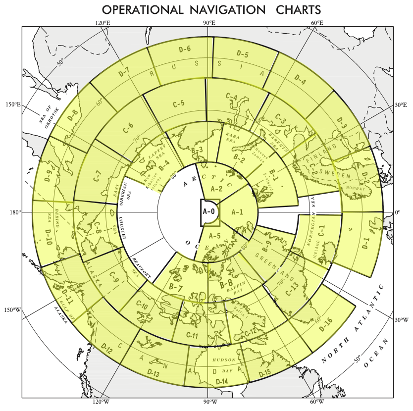
English: Index map of the Arctic for the 1:1,000,000 Operational Navigation Chart series. |
| Date | Unknown date |
| Source | |
| Author | Unknown author |
Licensing[edit]
This file is in the public domain because per http://www.lib.utexas.edu/maps/faq.html#3.html all maps in the Perry-Castañeda Library that are not clearly marked as copyrighted are in the public domain.
|
File history
Click on a date/time to view the file as it appeared at that time.
| Date/Time | Thumbnail | Dimensions | User | Comment | |
|---|---|---|---|---|---|
| current | 20:37, 6 September 2014 | | 834 × 830 (402 KB) | Revent (talk | contribs) | User created page with UploadWizard |
You cannot overwrite this file.
File usage on Commons
The following 40 pages use this file:
- User:SpanishSnake/Favorites
- Commons:WikiProject Aviation/recent uploads/2014 September 6
- File:Operational Navigation Chart A-1, 1st edition.jpg
- File:Operational Navigation Chart A-2, 2nd edition.jpg
- File:Operational Navigation Chart A-5, 3rd edition.jpg
- File:Operational Navigation Chart B-1, 3rd edition.jpg
- File:Operational Navigation Chart B-2, 3rd edition.jpg
- File:Operational Navigation Chart B-3, 2nd edition.jpg
- File:Operational Navigation Chart B-4, 4th edition.jpg
- File:Operational Navigation Chart B-7, 5th edition.jpg
- File:Operational Navigation Chart B-8, 3rd edition.jpg
- File:Operational Navigation Chart B-9, 1st edition.jpg
- File:Operational Navigation Chart C-1, 1st edition.jpg
- File:Operational Navigation Chart C-10, 4th edition.jpg
- File:Operational Navigation Chart C-11, 2nd edition.jpg
- File:Operational Navigation Chart C-12, 4th edition.jpg
- File:Operational Navigation Chart C-13, 3rd edition.jpg
- File:Operational Navigation Chart C-2, 13th edition.jpg
- File:Operational Navigation Chart C-4, 4th edition.jpg
- File:Operational Navigation Chart C-5, 2nd edition.jpg
- File:Operational Navigation Chart C-6, 3rd edition.jpg
- File:Operational Navigation Chart C-7, 5th edition.jpg
- File:Operational Navigation Chart C-8, 2nd edition.jpg
- File:Operational Navigation Chart C-9, 6th edition.jpg
- File:Operational Navigation Chart D-1, 10th edition.jpg
- File:Operational Navigation Chart D-11, 5th edition.jpg
- File:Operational Navigation Chart D-13, 4th edition.jpg
- File:Operational Navigation Chart D-14, 5th edition.jpg
- File:Operational Navigation Chart D-15, 4th edition.jpg
- File:Operational Navigation Chart D-16, 4th edition.jpg
- File:Operational Navigation Chart D-2, 7th edition.jpg
- File:Operational Navigation Chart D-3, 7th edition.jpg
- File:Operational Navigation Chart D-4, 3rd edition.jpg
- File:Operational Navigation Chart D-5, 6th edition.jpg
- File:Operational Navigation Chart D-6, 6th edition.jpg
- File:Operational Navigation Chart D-7, 6th edition.jpg
- File:Operational Navigation Chart D-8, 4th edition.jpg
- File:Operational Navigation chart D-10, 4th edition.jpg
- File:Operational Navigation chart D-9, 5th edition.jpg
- File:Operational Navigation chart D-9, 5th edition (cropped).jpg
.jpg)