File:Ice road across the Mackenzie, at Tsiigehtchic, Northwest Territories.jpg
Jump to navigation
Jump to search

Size of this preview: 800 × 533 pixels. Other resolutions: 320 × 213 pixels | 640 × 427 pixels | 1,024 × 683 pixels | 1,280 × 853 pixels | 2,560 × 1,707 pixels | 3,456 × 2,304 pixels.
Original file (3,456 × 2,304 pixels, file size: 3.64 MB, MIME type: image/jpeg)
Captions
Captions
Add a one-line explanation of what this file represents
| Description |
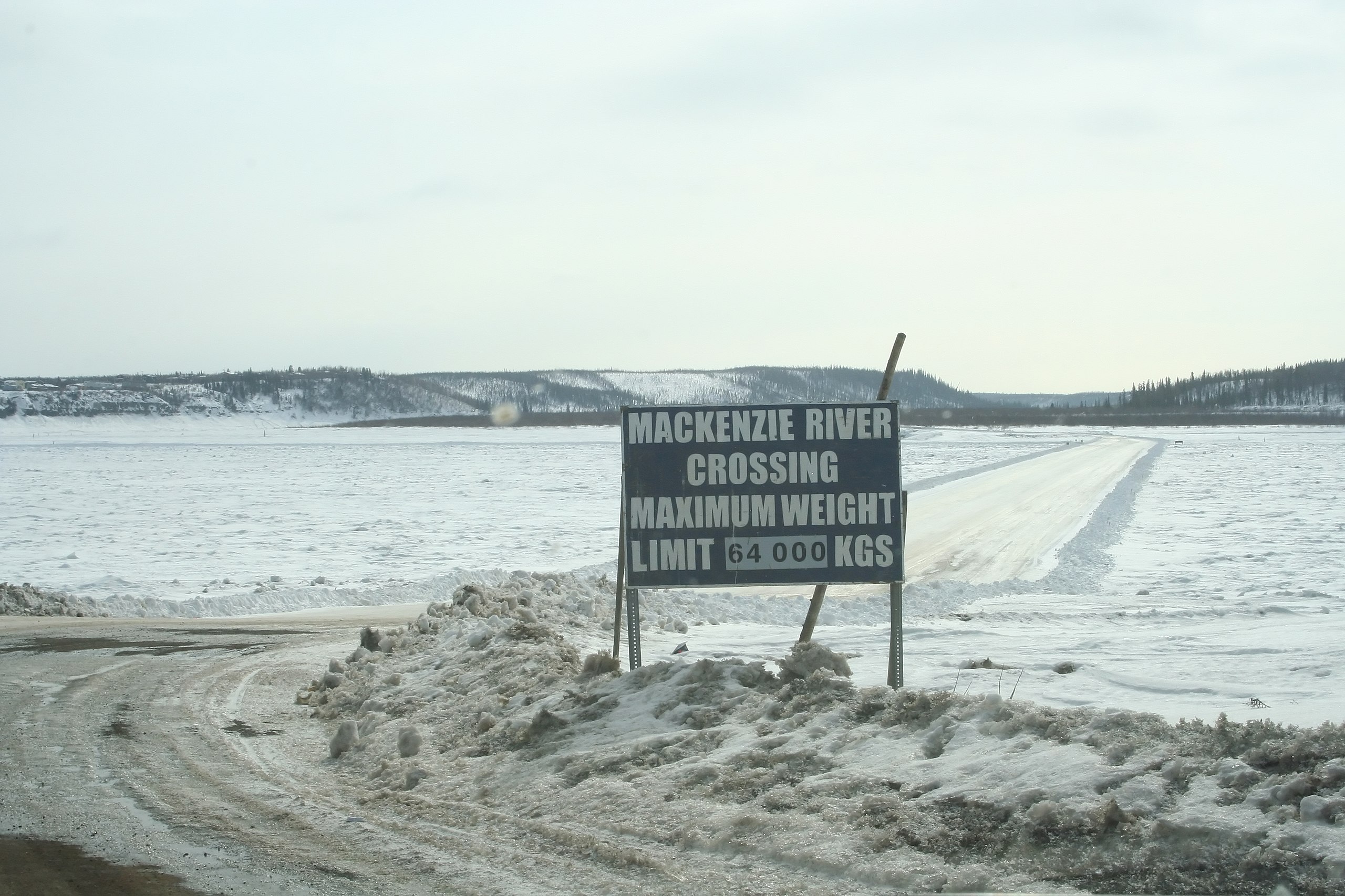
English: Ice road across the Mackenzie, at Tsiigehtchic, Northwest Territories. |
||
| Date | |||
| Source |
originally posted to Flickr as Crossing the Mackenzie
|
||
| Author | Ian Mackenzie | ||
| Permission (Reusing this file) |
This file is licensed under the Creative Commons Attribution 2.0 Generic license.
|
| Camera location | | View this and other nearby images on: OpenStreetMap |
|---|
File history
Click on a date/time to view the file as it appeared at that time.
| Date/Time | Thumbnail | Dimensions | User | Comment | |
|---|---|---|---|---|---|
| current | 04:19, 21 June 2010 | | 3,456 × 2,304 (3.64 MB) | Geo Swan (talk | contribs) | {{Information |Description=Ice road across the Mackenzie, at Tsiigehtchic, Northwest Territories. |Source=originally posted to '''Flickr''' as [http://www.flickr.com/photos/67038581@N00/2411174929/ Crossing the Mackenzie] * Uploaded using [[User:Odie |
You cannot overwrite this file.
File usage on Commons
There are no pages that use this file.
File usage on other wikis
The following other wikis use this file:
- Usage on cs.wikipedia.org
- Usage on fr.wikipedia.org
- Usage on fr.wikiversity.org
- Usage on ja.wikipedia.org
- Usage on sv.wikipedia.org
- Usage on zh.wikipedia.org
Metadata
Categories:
- Tsiigehtchic, Northwest Territories
- Frozen Mackenzie River
- Ice roads in the Northwest Territories
- Road signs in Canada
- Signs in the Northwest Territories
- Black and white rectangular road signs
- Wooden signs in Canada
- Limited weight prohibitory road signs in Canada
- April 2008 in the Northwest Territories
- River signs in Canada