File:IBRA Esperance Plains vegetation.jpeg
Jump to navigation
Jump to search

Size of this preview: 800 × 458 pixels. Other resolutions: 320 × 183 pixels | 640 × 367 pixels | 1,024 × 587 pixels | 1,280 × 733 pixels | 2,560 × 1,467 pixels | 4,960 × 2,842 pixels.
Original file (4,960 × 2,842 pixels, file size: 5.46 MB, MIME type: image/jpeg)
Captions
Captions
Add a one-line explanation of what this file represents
Summary[edit]
| Description |
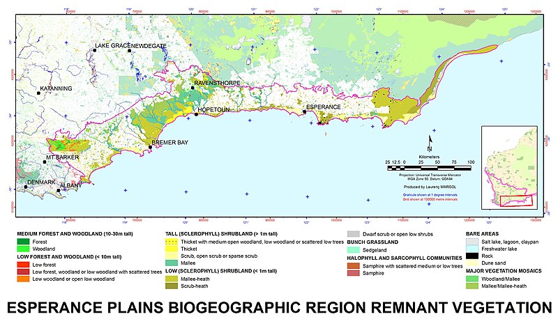
English: The Esperance Plains biogeographic region, with physiognomic remnant vegetation type. |
| Date | Date: 09/12/2016 |
| Source |
Source: IBRA Made with: ArcGIS 10.2 |
| Author | Author: Laurent MARSOL |
Licensing[edit]
This file is licensed under the Creative Commons Attribution-Share Alike 4.0 International license.
- You are free:
- to share – to copy, distribute and transmit the work
- to remix – to adapt the work
- Under the following conditions:
- attribution – You must give appropriate credit, provide a link to the license, and indicate if changes were made. You may do so in any reasonable manner, but not in any way that suggests the licensor endorses you or your use.
- share alike – If you remix, transform, or build upon the material, you must distribute your contributions under the same or compatible license as the original.
File history
Click on a date/time to view the file as it appeared at that time.
| Date/Time | Thumbnail | Dimensions | User | Comment | |
|---|---|---|---|---|---|
| current | 07:50, 22 December 2016 | | 4,960 × 2,842 (5.46 MB) | Aussie Oc (talk | contribs) | Correction: IBRA biogeographical region boundary missing. |
| 07:11, 22 December 2016 |  | 4,960 × 2,867 (5.38 MB) | Aussie Oc (talk | contribs) | Author: Laurent MARSOL Source: IBRA 6.1 & Physiognomic vegetation type & Remnant vegetation mask (DPaW corporate data). Produced with ArcGIS 10.3 Date: 18/12/2016 Changes: correction on title. | |
| 03:24, 13 December 2016 |  | 4,960 × 2,916 (5.36 MB) | Aussie Oc (talk | contribs) | Author: Laurent MARSOL Source: IBRA Realised with ArcGIS 10.3 on 11/12/2016 Changes: added main townsites location and label. | |
| 05:24, 8 December 2016 |  | 4,960 × 2,897 (5.28 MB) | Aussie Oc (talk | contribs) | Author: Laurent MARSOL Source: IBRA Made with: ArcGIS 10.2 Date: 09/12/2016 |
You cannot overwrite this file.
File usage on Commons
There are no pages that use this file.
File usage on other wikis
The following other wikis use this file:
- Usage on en.wikipedia.org
- Usage on es.wikipedia.org