File:HypoVereinsbank footprint.png
Jump to navigation
Jump to search
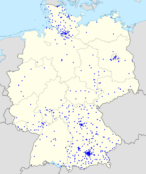
Size of this preview: 506 × 600 pixels. Other resolutions: 202 × 240 pixels | 405 × 480 pixels | 648 × 768 pixels | 864 × 1,024 pixels | 1,728 × 2,048 pixels | 6,438 × 7,632 pixels.
Original file (6,438 × 7,632 pixels, file size: 1.91 MB, MIME type: image/png)
Captions
Captions
Add a one-line explanation of what this file represents
Summary[edit]
| Description |
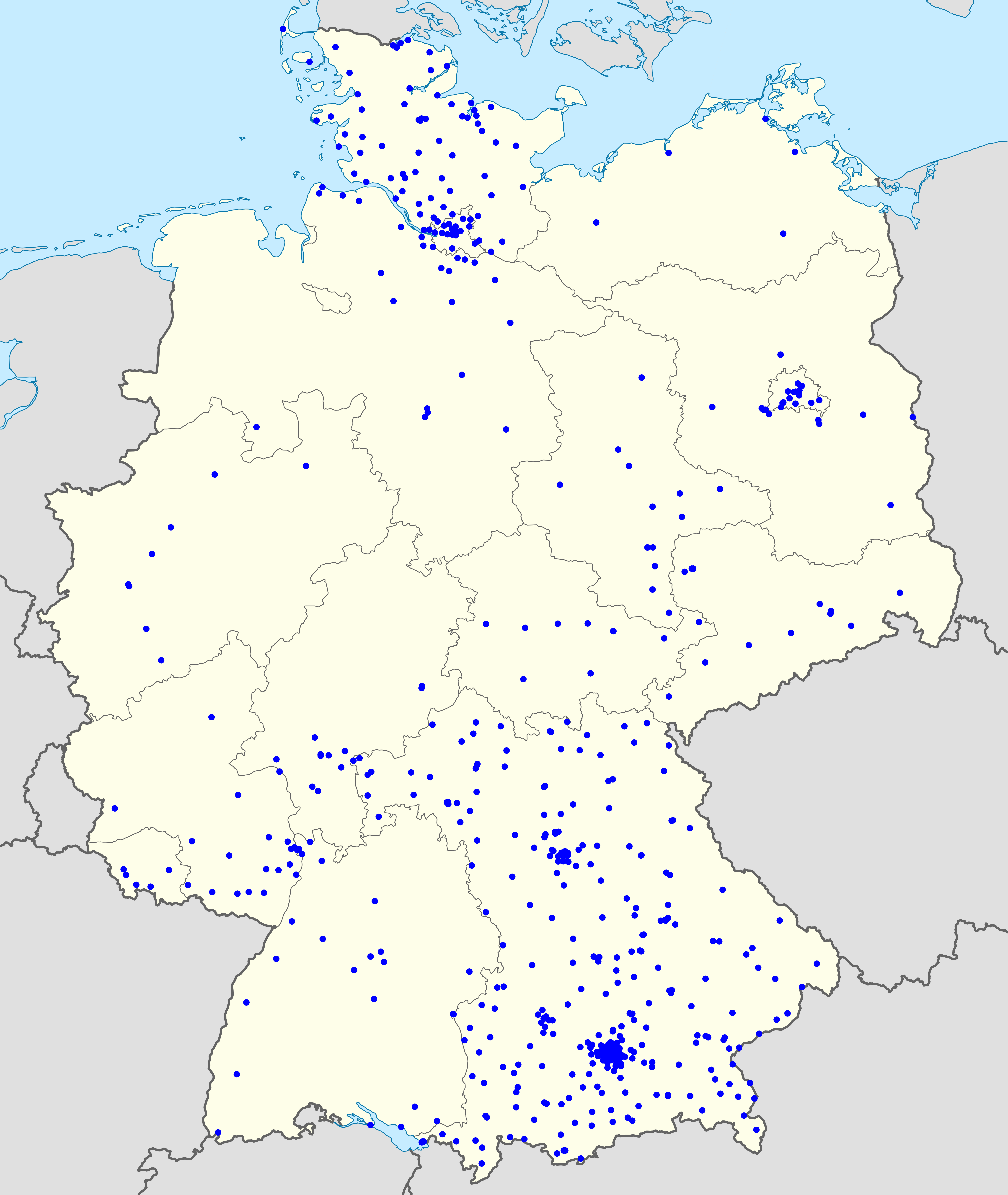
English: Footprint of HypoVereinsbank branches in Germany. |
| Date | (UTC) |
| Source | File:Germany location map.svg |
| Author | NordNordWest, Magog the Ogre |
|
|
Point Maps
══▻ FAQ ◅══ ══▻ Create your own ◅══ |
Licensing[edit]
This file is licensed under the Creative Commons Attribution-Share Alike 3.0 Unported license.
- You are free:
- to share – to copy, distribute and transmit the work
- to remix – to adapt the work
- Under the following conditions:
- attribution – You must give appropriate credit, provide a link to the license, and indicate if changes were made. You may do so in any reasonable manner, but not in any way that suggests the licensor endorses you or your use.
- share alike – If you remix, transform, or build upon the material, you must distribute your contributions under the same or compatible license as the original.
Original upload log[edit]
The original description page was here. All following user names refer to commons.wikimedia.
- 2012-08-05 20:14 User:NordNordWest 1073×1272× (463006 bytes) upd
- 2010-01-19 10:03 User:NordNordWest 1073×1272× (502104 bytes) update
- 2009-07-22 08:33 User:NordNordWest 1075×1273× (623082 bytes) c
- 2008-10-13 14:36 User:NordNordWest 1075×1273× (620685 bytes)
- 2008-10-09 21:13 User:NordNordWest 1075×1273× (627868 bytes) smaller file, data optimized
- 2008-06-30 20:25 User:NordNordWest 1076×1274× (899543 bytes) {{Information |Description= {{de|Positionskarte von [[:de:Deutschland|Deutschland]]}} Quadratische Plattkarte, N-S-Streckung 150 %. Geographische Begrenzung der Karte: * N: 55.1° N * S: 47.2° N * W: 5.5° O * O: 15.5° O {{en|Location map of [[:en:Germa
File history
Click on a date/time to view the file as it appeared at that time.
| Date/Time | Thumbnail | Dimensions | User | Comment | |
|---|---|---|---|---|---|
| current | 00:38, 21 December 2014 | | 6,438 × 7,632 (1.91 MB) | Magog the Ogre (talk | contribs) | {{Information |Description={{en|Footprint of HypoVereinsbank branches in Germany.}} |Source=File:Germany location map.svg |Date=~~~~~ |Author=User:NordNordWest, Magog the Ogre |Permission= |othe... |
You cannot overwrite this file.
File usage on Commons
The following page uses this file: