File:Hugh T. Rinehart House angle.jpg
Jump to navigation
Jump to search
Size of this preview: 800 × 600 pixels. Other resolutions: 320 × 240 pixels | 640 × 480 pixels | 1,024 × 768 pixels | 1,280 × 960 pixels | 2,560 × 1,920 pixels | 2,816 × 2,112 pixels.
Original file (2,816 × 2,112 pixels, file size: 3.14 MB, MIME type: image/jpeg)
Captions
Captions
Add a one-line explanation of what this file represents
| Camera location | | View this and other nearby images on: OpenStreetMap |
|---|
| Description |
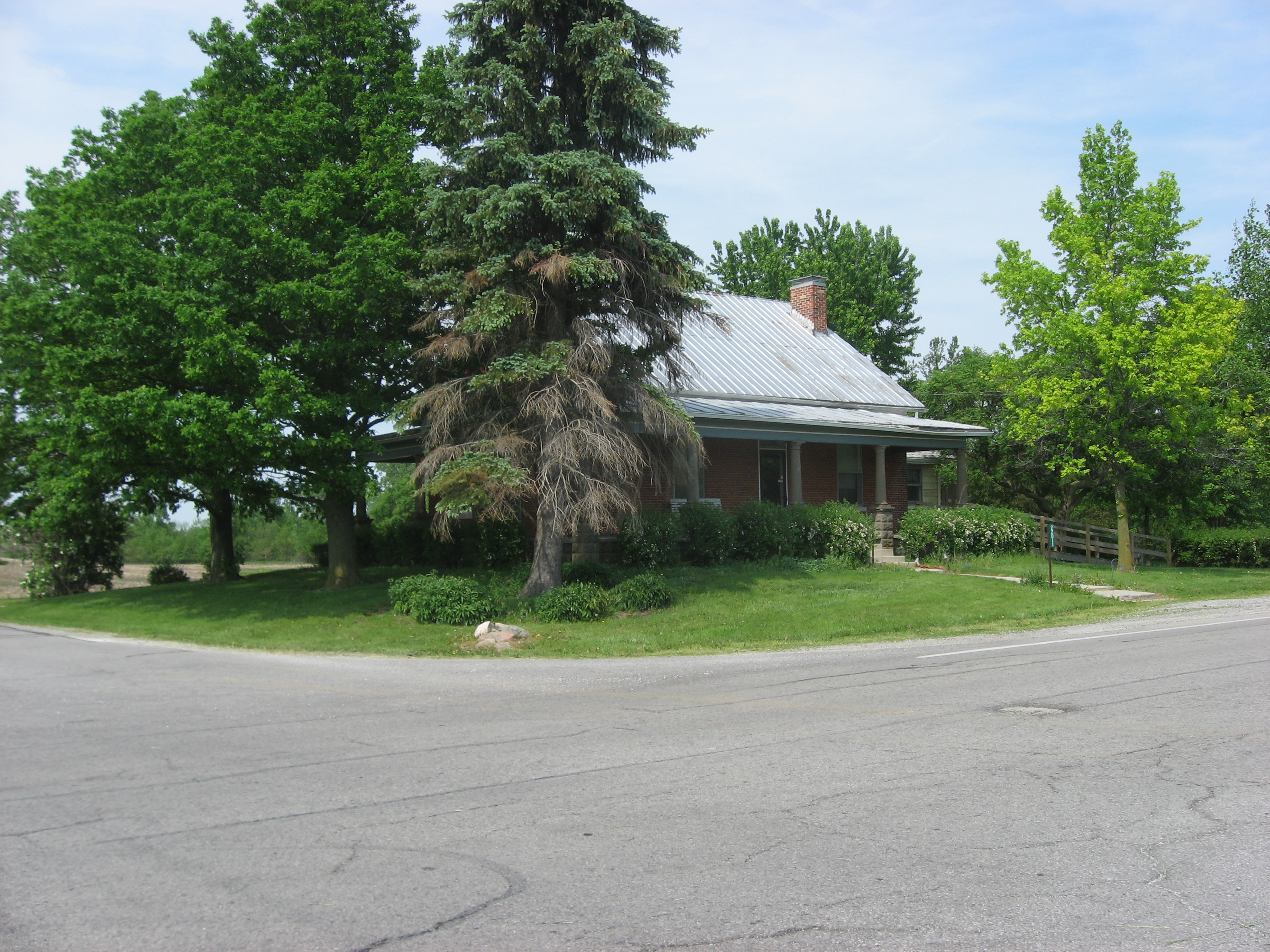
English: Front and western side of the Hugh T. Rinehart House, located at 22011 State Route 67 in Union Township, Auglaize County, Ohio, United States, between Uniopolis and Waynesfield. Built in 1861, the house is listed on the National Register of Historic Places. |
||
| Date | Taken on 22 May 2009 | ||
| Source | Own work | ||
| Author | User:Nyttend | ||
| Permission (Reusing this file) |
|
||
| Other versions |
 Front Front  Western side Western side |
File history
Click on a date/time to view the file as it appeared at that time.
| Date/Time | Thumbnail | Dimensions | User | Comment | |
|---|---|---|---|---|---|
| current | 14:51, 24 May 2009 | | 2,816 × 2,112 (3.14 MB) | Nyttend (talk | contribs) | {{Location|40|36|2|N|84|1|57|W}} {{Information |Description={{en|Front and western side of the {{w|Hugh T. Rinehart House}}, located at 22011 {{w|Ohio State Route 67|State Route 67}} in {{w|Union Township, Auglaize County, Ohio|Union Township}}, {{w|Augla |
You cannot overwrite this file.
File usage on Commons
The following 2 pages use this file: