File:HoosierCrossroadsConferenceINmap.png
Jump to navigation
Jump to search
Size of this preview: 578 × 599 pixels. Other resolutions: 231 × 240 pixels | 463 × 480 pixels | 682 × 707 pixels.
Original file (682 × 707 pixels, file size: 27 KB, MIME type: image/png)
Captions
Captions
Add a one-line explanation of what this file represents
Summary[edit]
| Description |
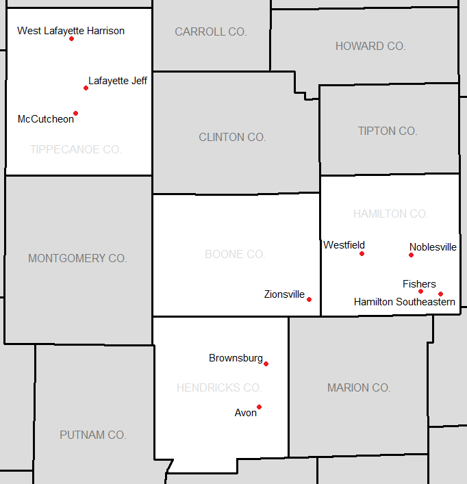
English: Map showing the location of Hoosier Crossroads Conference members. |
| Date | |
| Source | http://www2.census.gov/geo/maps/general_ref/stco_outline/cen2k_pgsz/stco_IN.pdf |
| Author | US Census |
Licensing[edit]
This image or file is a work of a United States Census Bureau employee, taken or made as part of that person's official duties. As a work of the U.S. federal government, the image is in the public domain.
|
 |
Original upload log[edit]
The original description page was here. All following user names refer to en.wikipedia.
| Date/Time | Dimensions | User | Comment |
|---|---|---|---|
| 2012-12-07 03:41 | 682×707× (27386 bytes) | Frank12 | Uploading a public-domain item using [[Wikipedia:File_Upload_Wizard|File Upload Wizard]] |
File history
Click on a date/time to view the file as it appeared at that time.
| Date/Time | Thumbnail | Dimensions | User | Comment | |
|---|---|---|---|---|---|
| current | 04:16, 25 April 2016 | | 682 × 707 (27 KB) | FastilyClone (talk | contribs) | Transferred from enwp |
You cannot overwrite this file.
File usage on Commons
There are no pages that use this file.