File:Hoogstraat 164, Haastrecht (achtertuin Bisdom van Vliet) 01.jpg
Jump to navigation
Jump to search

Size of this preview: 800 × 553 pixels. Other resolutions: 320 × 221 pixels | 640 × 442 pixels | 1,024 × 708 pixels | 1,280 × 885 pixels | 2,560 × 1,769 pixels | 3,208 × 2,217 pixels.
Original file (3,208 × 2,217 pixels, file size: 1.19 MB, MIME type: image/jpeg)
Captions
Captions
Add a one-line explanation of what this file represents
Summary[edit]
_01.jpg&action=edit§ion=1)
| Description |
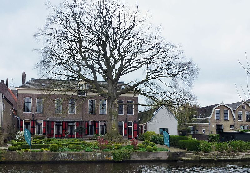
Nederlands: Tuin aan de achterzijde van museum Bisdom van Vliet uit de tweede helft van de negentiende eeuw, gelegen aan de Hollandse IJssel. In het midden van de tuin is in 1692 een rode beuk geplant als reminiscentie aan het jaar waarin Adriaan Bisdom zich in Haastrecht vestigde. In 2020 is de beuk om veiligheidsredenen drastisch gesnoeid. English: Garden along the Hollandse IJssel with European beech planted in 1692 in Haastrecht the Netherlands
|
||
| Date | |||
| Source | Own work | ||
| Author | Agaath |
| Camera location | | View this and other nearby images on: OpenStreetMap |
|---|
_01.jpg¶ms=052.001472_N_0004.771337_E_globe:Earth_type:camera__&language=en)
Link Achtergevel Bisdom van Vliet met de beuk vol in het blad
Licensing[edit]
_01.jpg&action=edit§ion=2)
I, the copyright holder of this work, hereby publish it under the following license:
This file is licensed under the Creative Commons Attribution-Share Alike 4.0 International license.
- You are free:
- to share – to copy, distribute and transmit the work
- to remix – to adapt the work
- Under the following conditions:
- attribution – You must give appropriate credit, provide a link to the license, and indicate if changes were made. You may do so in any reasonable manner, but not in any way that suggests the licensor endorses you or your use.
- share alike – If you remix, transform, or build upon the material, you must distribute your contributions under the same or compatible license as the original.
File history
Click on a date/time to view the file as it appeared at that time.
| Date/Time | Thumbnail | Dimensions | User | Comment | |
|---|---|---|---|---|---|
| current | 20:53, 12 April 2017 | | 3,208 × 2,217 (1.19 MB) | Agaath (talk | contribs) | User created page with UploadWizard |
You cannot overwrite this file.
File usage on Commons
The following page uses this file:
File usage on other wikis
The following other wikis use this file:
- Usage on nl.wikipedia.org
- Usage on www.wikidata.org
_01.jpg&oldid=812337506)