File:Hokkaido South topographic map.png
Jump to navigation
Jump to search

Size of this preview: 800 × 584 pixels. Other resolutions: 320 × 233 pixels | 640 × 467 pixels | 1,024 × 747 pixels | 1,153 × 841 pixels.
Original file (1,153 × 841 pixels, file size: 995 KB, MIME type: image/png)
Captions
Captions
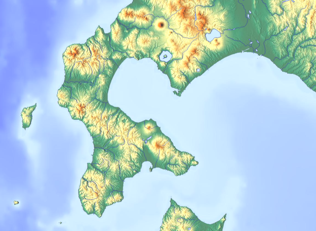
Topographic map of Hokkaido South, Japan
Summary[edit]
| Description |
日本語: 日本国北海道南部の地形図 |
| Date | |
| Source | Original map:maps-for-free.com |
| Author |
Original map:maps-for-free.com(Hans Braxmeier) Edits: Krorokeroro (talk · contribs) |
Licensing[edit]
| This file is made available under the Creative Commons CC0 1.0 Universal Public Domain Dedication. | |
| The person who associated a work with this deed has dedicated the work to the public domain by waiving all of their rights to the work worldwide under copyright law, including all related and neighboring rights, to the extent allowed by law. You can copy, modify, distribute and perform the work, even for commercial purposes, all without asking permission.
|
File history
Click on a date/time to view the file as it appeared at that time.
| Date/Time | Thumbnail | Dimensions | User | Comment | |
|---|---|---|---|---|---|
| current | 15:20, 13 February 2019 | | 1,153 × 841 (995 KB) | Krorokeroro (talk | contribs) | 明るさを変更 |
| 08:20, 12 February 2019 |  | 1,153 × 841 (1.04 MB) | Krorokeroro (talk | contribs) | User created page with UploadWizard |
You cannot overwrite this file.
File usage on Commons
There are no pages that use this file.
File usage on other wikis
The following other wikis use this file:
- Usage on fr.wikipedia.org
- Usage on ja.wikipedia.org
View more global usage of this file.