File:Highland Cattle Near Laggan - geograph.org.uk - 394795.jpg
Highland_Cattle_Near_Laggan_-_geograph.org.uk_-_394795.jpg (640 × 480 pixels, file size: 247 KB, MIME type: image/jpeg)
Captions
Summary[edit]
DescriptionHighland Cattle Near Laggan - geograph.org.uk - 394795.jpg |
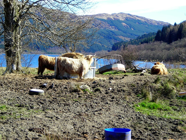
English: Highland Cattle near Laggan |
||
Date | |||
Source | geograph.org.uk | ||
Author | Iain Thompson | ||
Permission (Reusing this file) |
This file is licensed under the Creative Commons Attribution-Share Alike 2.0 Generic license. Attribution: Iain Thompson
|
||
Attribution (required by the license) InfoField | Iain Thompson / Highland Cattle Near Laggan / | ||
InfoField | Iain Thompson / Highland Cattle Near Laggan |
Camera location | 56° 18′ 01″ N, 4° 19′ 18″ W | View this and other nearby images on: OpenStreetMap | 56.300180; -4.321700 |
---|
Object location | 56° 18′ 01″ N, 4° 19′ 18″ W | View this and other nearby images on: OpenStreetMap | 56.300180; -4.321700 |
---|
- Remove redundant categories and try to put this image in the most specific category/categories
- Remove this template
- The location categories are based on information from this geonames tool and this OpenStreetMap tool combined with a database. You can also have a look at this tool from mysociety.
- The topic category from Geograph was Cattle (find similar images at Geograph)
English | suomi | français | galego | עברית | magyar | македонски | മലയാളം | português | português do Brasil | Türkçe | +/−
File history
Click on a date/time to view the file as it appeared at that time.
Date/Time | Thumbnail | Dimensions | User | Comment | |
---|---|---|---|---|---|
current | 18:04, 3 February 2011 | 640 × 480 (247 KB) | GeographBot (talk | contribs) | == {{int:filedesc}} == {{Information |description={{en|1=Highland Cattle Near Laggan}} |date=2007-04-05 |source=From [http://www.geograph.org.uk/photo/394795 geograph.org.uk] |author=[http://www.geograph.org.uk/profile/2610 Iain Thompson] |permission= |ot |
You cannot overwrite this file.
File usage on Commons
There are no pages that use this file.
Metadata
This file contains additional information such as Exif metadata which may have been added by the digital camera, scanner, or software program used to create or digitize it. If the file has been modified from its original state, some details such as the timestamp may not fully reflect those of the original file. The timestamp is only as accurate as the clock in the camera, and it may be completely wrong.
Camera manufacturer | NIKON |
---|---|
Camera model | COOLPIX L2 |
Exposure time | 1/320 sec (0.003125) |
F-number | f/4.6 |
ISO speed rating | 100 |
Date and time of data generation | 13:17, 5 April 2007 |
Lens focal length | 14.8 mm |
Horizontal resolution | 300 dpi |
Vertical resolution | 300 dpi |
Software used | COOLPIX L2v1.2 |
File change date and time | 13:17, 5 April 2007 |
Y and C positioning | Centered |
Exposure Program | Normal program |
Exif version | 2.2 |
Date and time of digitizing | 13:17, 5 April 2007 |
APEX exposure bias | 0 |
Maximum land aperture | 4.4 APEX (f/4.59) |
Metering mode | Pattern |
Light source | Unknown |
Flash | Flash did not fire, compulsory flash suppression |
Color space | sRGB |
Custom image processing | Normal process |
Exposure mode | Auto exposure |
White balance | Auto white balance |
Digital zoom ratio | 0 |
Focal length in 35 mm film | 90 mm |
Scene capture type | Standard |
Contrast | Normal |
Saturation | Normal |
Sharpness | Normal |
Subject distance range | Unknown |
Structured data
Items portrayed in this file
depicts
some value
5 April 2007
56°18'0.65"N, 4°19'18.12"W
- CC-BY-SA-2.0
- Images from Geograph Britain and Ireland
- Images from Geograph Britain and Ireland missing SDC MIME type
- Information field template with formatting
- Files with coordinates missing SDC location of creation
- Images from Geograph Britain and Ireland needing category review
- Images by Iain Thompson
- United Kingdom photographs taken on 2007-04-05
- Pages with maps