File:Helton-Mayo Farm.jpg
Jump to navigation
Jump to search
Size of this preview: 800 × 450 pixels. Other resolutions: 320 × 180 pixels | 640 × 360 pixels | 1,024 × 576 pixels | 1,280 × 720 pixels | 2,816 × 1,584 pixels.
Original file (2,816 × 1,584 pixels, file size: 1.06 MB, MIME type: image/jpeg)
Captions
Captions
Add a one-line explanation of what this file represents
|
This is an image of a place or building that is listed on the National Register of Historic Places in the United States of America. Its reference number is 95000709. |
| Camera location | | View this and other nearby images on: OpenStreetMap |
|---|
| Description |
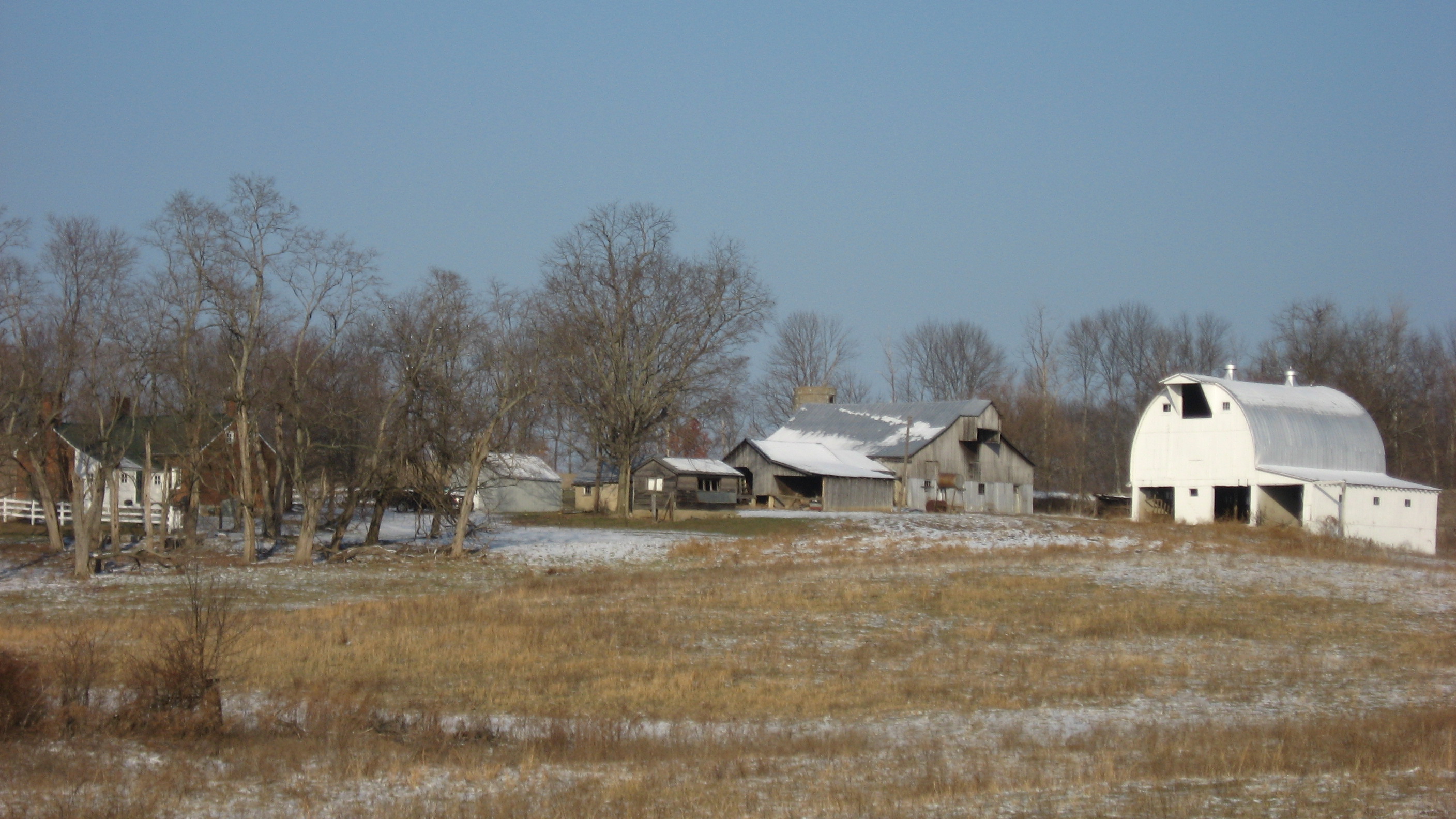
English: Overview of the Helton-Mayo Farm, located on the northern side of State Road 58 near its intersection with Boyd Lane near the city of Bedford along Zehringer Road north of Fort Recovery in Shawswick Township, Lawrence County, Indiana, United States. The farm complex is listed on the National Register of Historic Places. |
||
| Date | Taken on 10 December 2010 | ||
| Source | Own work | ||
| Author | Nyttend | ||
| Permission (Reusing this file) |
|
File history
Click on a date/time to view the file as it appeared at that time.
| Date/Time | Thumbnail | Dimensions | User | Comment | |
|---|---|---|---|---|---|
| current | 13:23, 20 December 2010 | | 2,816 × 1,584 (1.06 MB) | Nyttend (talk | contribs) | {{Location|38|53|11|N|86|27|5|W}} {{Information |Description={{en|Overview of the {{w|Helton-Mayo Farm}}, located on the northern side of {{w|Indiana State Road 58|State Road 58}} near its intersection with Boyd Lane near the city of {{w|Bedford, Indiana| |
You cannot overwrite this file.
File usage on Commons
There are no pages that use this file.
File usage on other wikis
The following other wikis use this file:
- Usage on en.wikipedia.org
- Usage on www.wikidata.org