File:Harrison Township wheat field.jpg
Jump to navigation
Jump to search
Size of this preview: 800 × 532 pixels. Other resolutions: 320 × 213 pixels | 640 × 426 pixels | 1,024 × 681 pixels | 1,280 × 851 pixels | 2,560 × 1,702 pixels | 6,016 × 4,000 pixels.
Original file (6,016 × 4,000 pixels, file size: 7.24 MB, MIME type: image/jpeg)
Captions
Captions
Add a one-line explanation of what this file represents
| Camera location | | View this and other nearby images on: OpenStreetMap |
|---|
| Description |
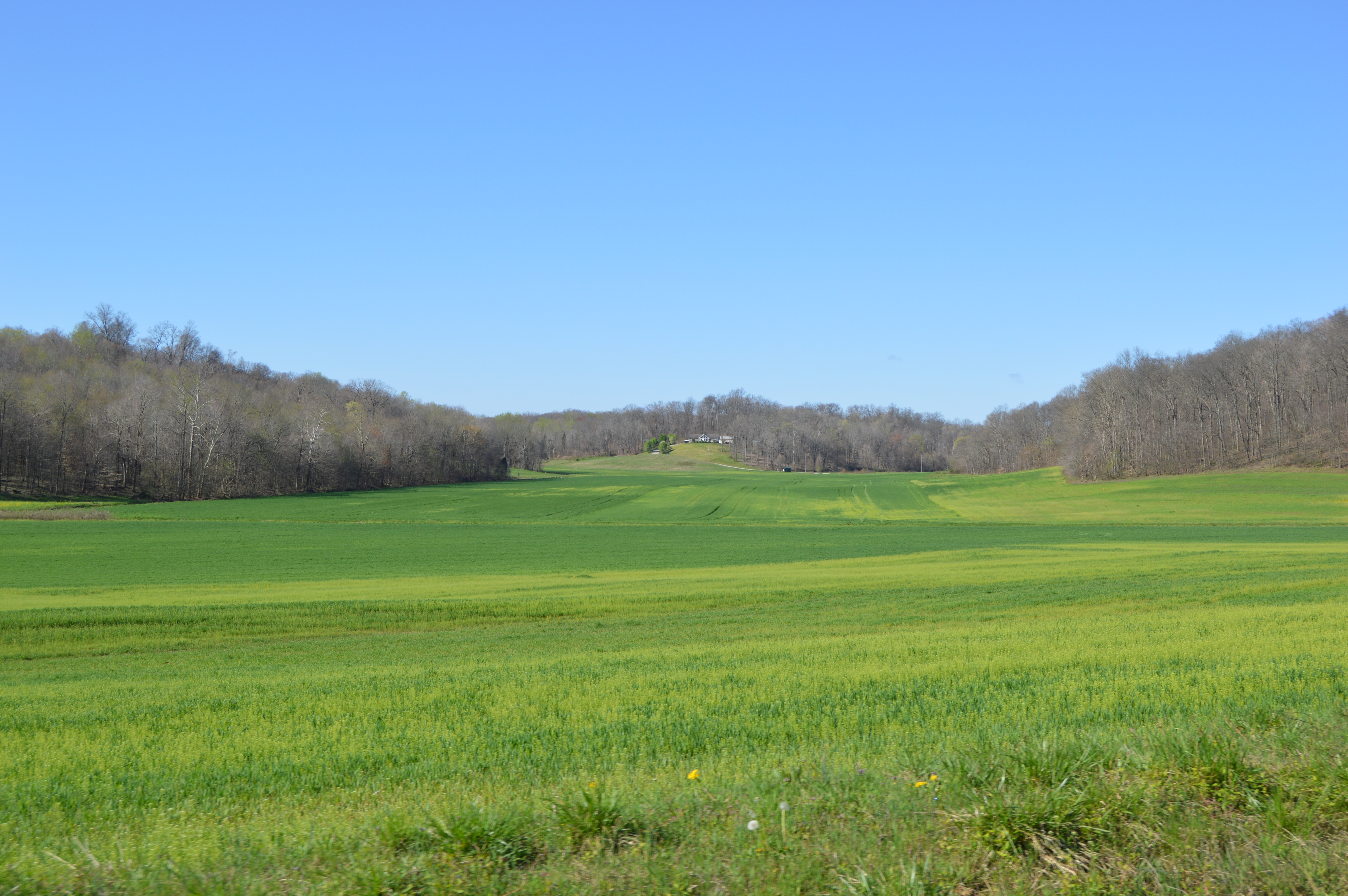
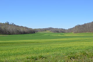
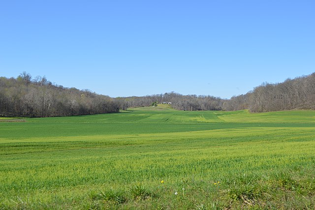
English: Wheat fields southwest of E1550N and east of Fulda in Harrison Township, Spencer County, Indiana, United States. |
||
| Date | Taken on 2 April 2016 | ||
| Source | Own work | ||
| Author | Nyttend | ||
| Permission (Reusing this file) |
|
| Annotations | This image is annotated: View the annotations at Commons |
File history
Click on a date/time to view the file as it appeared at that time.
| Date/Time | Thumbnail | Dimensions | User | Comment | |
|---|---|---|---|---|---|
| current | 12:21, 10 April 2016 | | 6,016 × 4,000 (7.24 MB) | Nyttend (talk | contribs) | {{Location|37|58|8|N|87|34|12|W}} {{Information |Description={{en|Wheat fields southwest of E1550N and east of {{w|Fulda, Indiana|Fulda}} in {{w|Harrison Township, Spencer County, Indiana|Harrison Township}}, {{w|Spencer County, Indiana|Spencer County}... |
You cannot overwrite this file.
File usage on Commons
The following 2 pages use this file:
File usage on other wikis
The following other wikis use this file:
- Usage on en.wikipedia.org
- Usage on es.wikipedia.org
- Usage on eu.wikipedia.org
- Usage on ur.wikipedia.org
- Usage on vi.wikipedia.org
- Usage on www.wikidata.org
- Usage on zh.wikipedia.org