File:Haitang Bay in Sanya.jpg
Jump to navigation
Jump to search

Size of this preview: 800 × 253 pixels. Other resolutions: 320 × 101 pixels | 640 × 203 pixels | 1,024 × 324 pixels | 1,280 × 405 pixels | 4,687 × 1,483 pixels.
Original file (4,687 × 1,483 pixels, file size: 1.99 MB, MIME type: image/jpeg)
Captions
Captions
Add a one-line explanation of what this file represents
Summary[edit]
| Description |
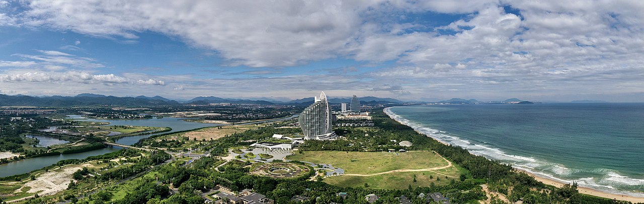
English: The panorama of Haitang Bay, Hainan 中文:2021年10月末,三亚海棠湾海岸天际线,自南向北方向拍摄 |
| Date | |
| Source | Own work |
| Author | Charlie fong |
| Camera location | | View this and other nearby images on: OpenStreetMap |
|---|
Licensing[edit]
I, the copyright holder of this work, hereby publish it under the following license:
This file is licensed under the Creative Commons Attribution-Share Alike 4.0 International license.
- You are free:
- to share – to copy, distribute and transmit the work
- to remix – to adapt the work
- Under the following conditions:
- attribution – You must give appropriate credit, provide a link to the license, and indicate if changes were made. You may do so in any reasonable manner, but not in any way that suggests the licensor endorses you or your use.
- share alike – If you remix, transform, or build upon the material, you must distribute your contributions under the same or compatible license as the original.
This image has been assessed using the Quality image guidelines and is considered a Quality image.
|
File history
Click on a date/time to view the file as it appeared at that time.
| Date/Time | Thumbnail | Dimensions | User | Comment | |
|---|---|---|---|---|---|
| current | 12:10, 23 October 2021 | 4,687 × 1,483 (1.99 MB) | Charlie fong (talk | contribs) | Uploaded own work with UploadWizard |
You cannot overwrite this file.
File usage on Commons
The following 4 pages use this file:
File usage on other wikis
The following other wikis use this file: