File:Haast River Bridge.jpg
Jump to navigation
Jump to search
Size of this preview: 800 × 536 pixels. Other resolutions: 320 × 214 pixels | 640 × 429 pixels | 1,024 × 686 pixels | 1,280 × 858 pixels | 2,560 × 1,715 pixels | 3,900 × 2,613 pixels.
Original file (3,900 × 2,613 pixels, file size: 2.28 MB, MIME type: image/jpeg)
Captions
Captions
Add a one-line explanation of what this file represents
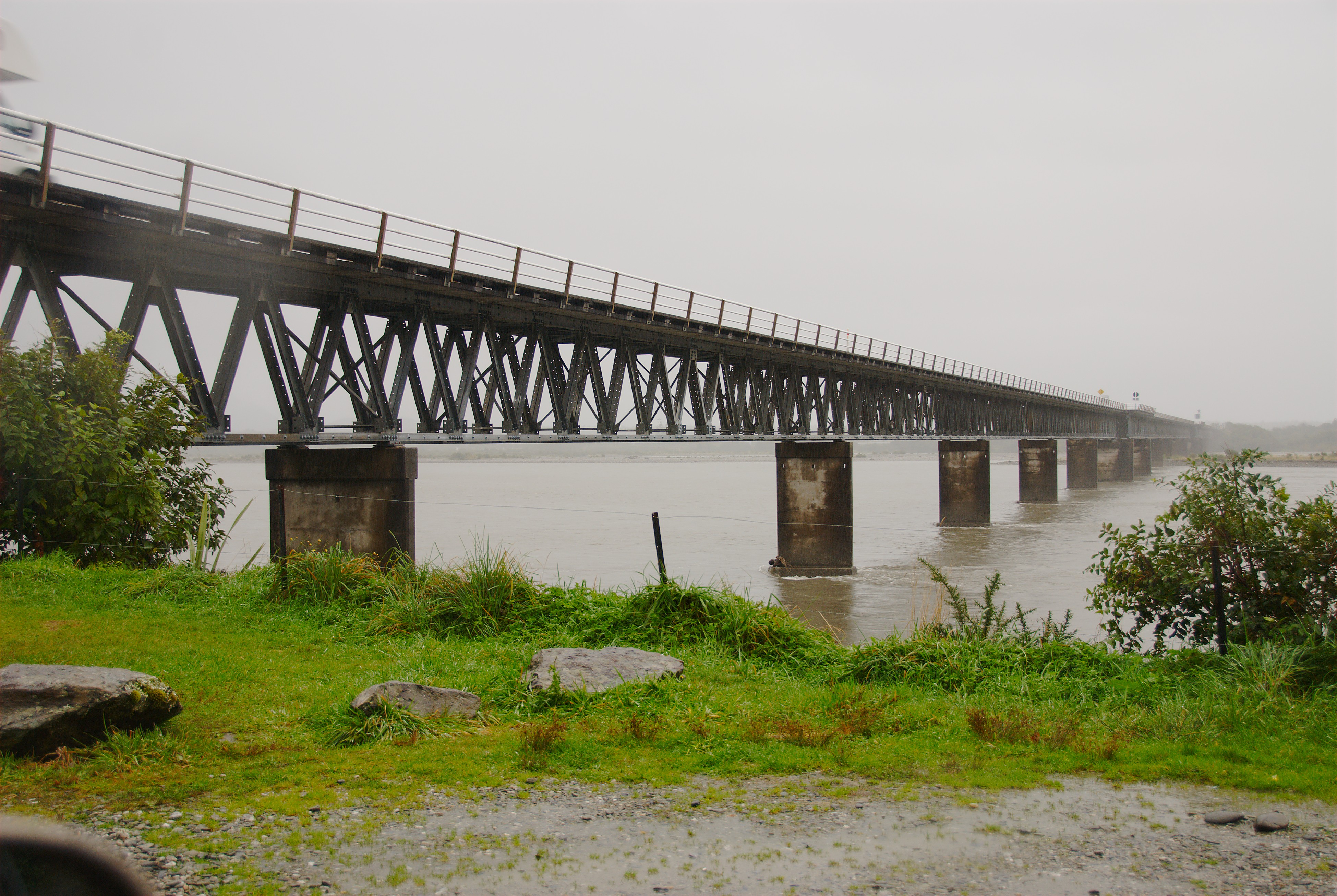
| Description | The bridge over the Haast River, north of the Haast township. At 737m it is the longest one-way road bridge in New Zealand, and the 7th longest New Zealand bridge overall.[1] |
| Date | |
| Source | Own work |
| Author | Karora |
| Camera location | | View this and other nearby images on: OpenStreetMap |
|---|
Licensing[edit]
| I, the copyright holder of this work, release this work into the public domain. This applies worldwide. In some countries this may not be legally possible; if so: I grant anyone the right to use this work for any purpose, without any conditions, unless such conditions are required by law. |
References[edit]
- ↑ Transit New Zealand Frequently Asked Questions. Retrieved on 2008-09-23.
File history
Click on a date/time to view the file as it appeared at that time.
| Date/Time | Thumbnail | Dimensions | User | Comment | |
|---|---|---|---|---|---|
| current | 10:29, 23 September 2008 | | 3,900 × 2,613 (2.28 MB) | Karora (talk | contribs) | {{Information |Description=The bridge over the Haast River, north of the Haast township. At 737m it is the longest one-way road bridge in New Zealand, and the 7th longest New Zealand bridge overall.<ref>{{cite web |url=http://www.transit.govt.nz/about/fa |
You cannot overwrite this file.
File usage on Commons
There are no pages that use this file.
File usage on other wikis
The following other wikis use this file:
- Usage on de.wikipedia.org
- Usage on es.wikipedia.org
- Usage on fr.wikipedia.org