File:Guyana Satellite Image.png
Jump to navigation
Jump to search

Size of this preview: 406 × 599 pixels. Other resolutions: 162 × 240 pixels | 325 × 480 pixels | 520 × 768 pixels | 694 × 1,024 pixels | 1,294 × 1,910 pixels.
Original file (1,294 × 1,910 pixels, file size: 4.14 MB, MIME type: image/png)
Captions
Captions
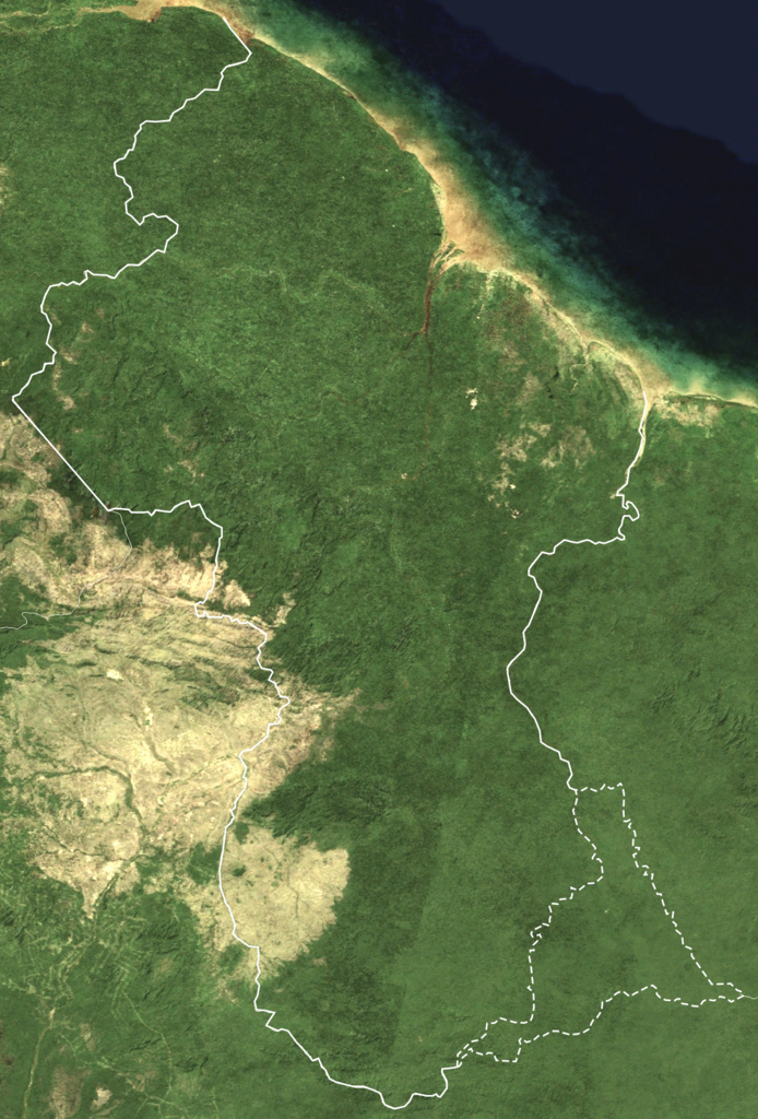
This is a satellite image of Guyana showing the borders including the disputed area with Suriname (Tigri Area)
Summary[edit]
| Description |
English: This is a satellite image of Guyana showing the borders including the disputed area with Suriname ( Tigri Area). This is a Neutral Representation of a Disputed area between Suriname and Guyana that has been disputed since colonial times. |
| Date | |
| Source | https://en.wikipedia.org/wiki/File:Guyana_BMNG.png |
| Author | NASA |
Licensing[edit]
This file is licensed under the Creative Commons Attribution-Share Alike 4.0 International license.
- You are free:
- to share – to copy, distribute and transmit the work
- to remix – to adapt the work
- Under the following conditions:
- attribution – You must give appropriate credit, provide a link to the license, and indicate if changes were made. You may do so in any reasonable manner, but not in any way that suggests the licensor endorses you or your use.
- share alike – If you remix, transform, or build upon the material, you must distribute your contributions under the same or compatible license as the original.
File history
Click on a date/time to view the file as it appeared at that time.
| Date/Time | Thumbnail | Dimensions | User | Comment | |
|---|---|---|---|---|---|
| current | 18:43, 9 July 2023 | | 1,294 × 1,910 (4.14 MB) | SurinameCentral (talk | contribs) | improved border visibility and disputed area now turned into a dashed line |
| 22:18, 1 July 2023 |  | 1,294 × 1,910 (4.09 MB) | SurinameCentral (talk | contribs) | Uploaded a work by NASA from https://en.wikipedia.org/wiki/File:Guyana_BMNG.png with UploadWizard |
You cannot overwrite this file.
File usage on Commons
There are no pages that use this file.
File usage on other wikis
The following other wikis use this file:
- Usage on nl.wikipedia.org